It seems like now is a good time for an update, and I’m sorry to say that it isn’t going to be a super fun one. I decided over the past several days that it was a good decision for me to get off the trail. I’ll explain my reasoning, but I want everyone to know that I wouldn’t have made this decision unless I truly thought it was the best for my well-being. I’m sure many of you wanted me to finish just as much as I did, and I feel bad about that. Again, it was a tough call, but I’m at peace with my decision.
About three days before a friend and I arrived in South Lake Tahoe I started getting symptoms of giardiasis. It wasn’t pretty, overall I’d say it was a shitty situation (pun intended). When we got into town I new I wanted to take a zero day to evaluate how I felt. The next day I didn’t feel any improvement so I went to see a doctor. There they decided that giardiasis was the likely culprit and prescribed me with an anti protozoan that would take care of things. I still felt pretty week at the time so my Dad came up and we went car camping. We did a bit of fishing and made some good food and I thought my appetite was coming back. After several days off in the comfort of an air mattress and hot food, I decided to get back on trail.
I want to emphasize how significant a loss of appetite is to a thru-hiker. I’m no doctor, but it’s pretty well known that when thru-hikers put their body through such a caloric deficit, our metabolisms go crazy. It’s called “hiker hunger” and it always seemed to hit me particularly hard. Ask anyone who’s been in town with me, I can put down a lot of food! That’s what it’s like when I’m healthy. When I got into South Lake Tahoe I did not want to eat. I tried to eat a burger with my friend, it was his birthday after all, and I did not feel good. After the doctor trip I only felt ok after eating liquid foods or bland food. My weight dropped another 10 lbs from where I usually level out on trail, so I knew I wasn’t eating enough. So when my Dad came up to take some days off with me I knew I needed to start eating again. It seemed like things were going well until I went back on trail. Maybe it was the exertion or altitude, but I quickly went back to not wanting to eat my food. I was cold soaking half the amount of food I normally do, and I could only eat half of that, needing to burry the rest. It was pretty clear to me that if I was going to stay on trial I would continue to lose weight as well as my energy.
In the evenings I was always looking forward to getting in my tent, and in the mornings I loathed getting out of my warm quilt. Feeling low energy just wasn’t a good mix for what I knew was about to come. The high sierra were going to even colder, and mixing that with precipitation just didn’t seem like a good time.
The High Sierra have always been the section of PCT I was looking forward to the most. Rather than the possibility of a really terrible time, I decided to postpone my hike. The trail isn’t going anywhere soon, and I’d rather hike it with the same enthusiasm I had approaching the Sierra. Again, I want to reiterate how this was the best decision for me, I wouldn’t have made this call if I felt differently. It was a challenging decision, and I think I learned something from it. Sometimes you need to listen to your body, and throw your ego aside.
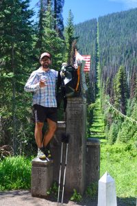
Here I am at the start of the PCT. Notice the line behind me that is the Canadian/US border.
Alright, so I know when I first announced I was doing this PCT hike I said I was going to try and update you all through my blog, much like I did on the Appalachian Trail. That’s not at all what’s been happening and I apologize. Honestly, I want to share my experience with you, and for many of my close family members this is how you’ll know how I’m doing. So this is going to be a general overview of what’s been going on so far and let you all know I’m still alive and kicking.
First I want to explain why I haven’t been keeping up my blog like I did on the AT. WordPress has an IOS app that lets you start blog posts offline and then upload them when you have service. It’s a really handy tool, but has one major downside. You have to type on your phone. Using my thumbs to write blog posts is really annoying and I quickly resorted to only typing posts out when I had access to a keyboard on the AT. So far on the PCT I only could have used a computer a handful of times and each time I was busy doing other town related things. I’ve thought about bringing a small bluetooth keyboard that could hook up to my phone, but that just adds weight to my pack. I also spend the vast majority of my time walking and don’t really want to take time away to write these posts.
Major Differences of the PCT and AT
The Appalachian Trail and Pacific Crest Trail are two national scenic trails. That’s about were the similarities end. Seriously, they are so different from each other! I usually don’t like to compare the two because of this reason, but I think it could help to make sense of what I’m doing now.
On the AT I had a lot more downtime. I think this is mostly due to a difference in trail grade. One comparison I’ve heard and now agree with is that a 20 mile day on the AT is the equivalent to a 30 mile day on the PCT. The PCT is just a much smoother trail. There are tons of switchbacks, turning steep uphill slogs into gradual climbs. Because the trail is so much better graded your body doesn’t get as tired as soon, so walking for 12 hours a day is a lot more doable.
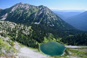
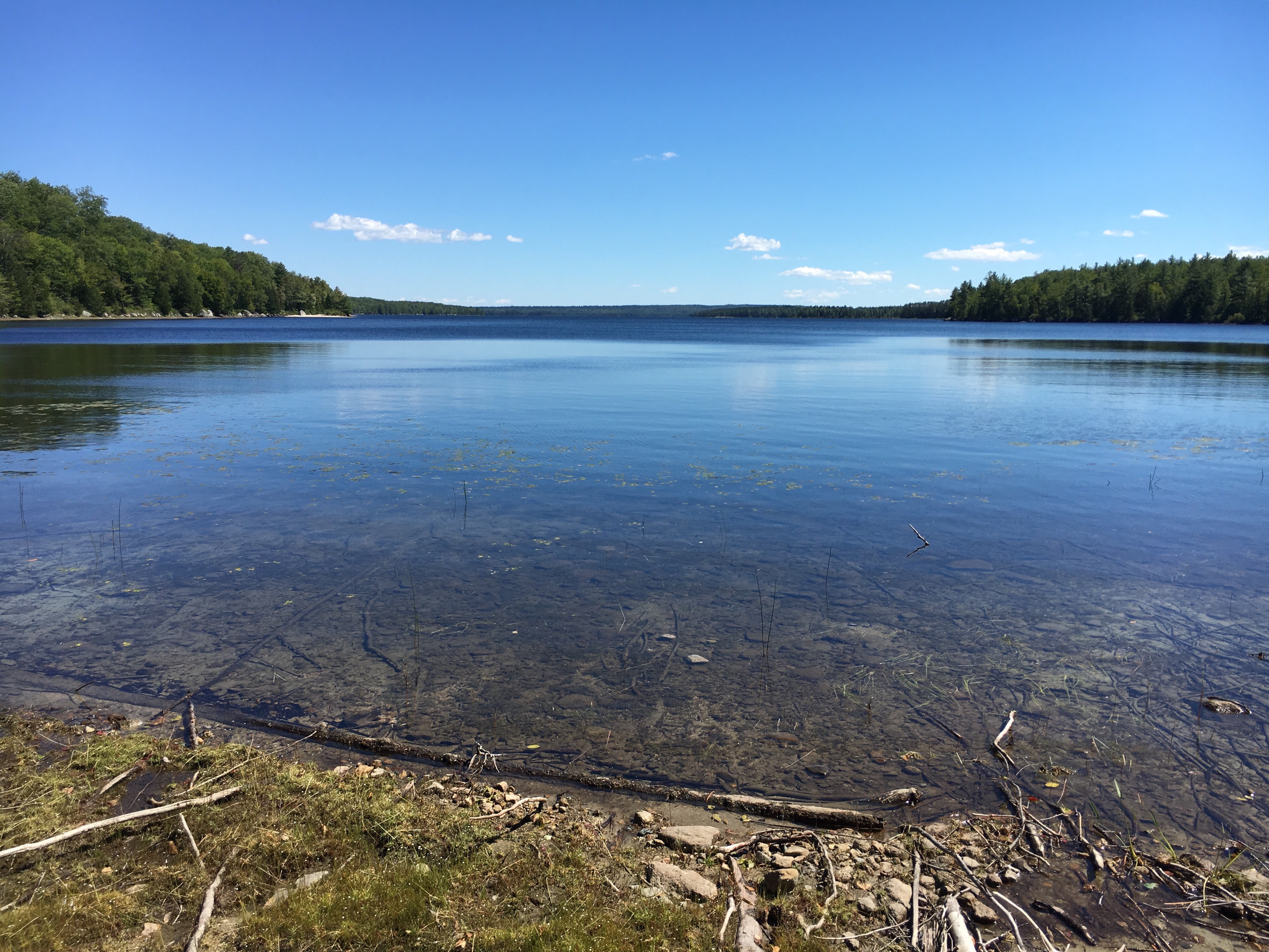
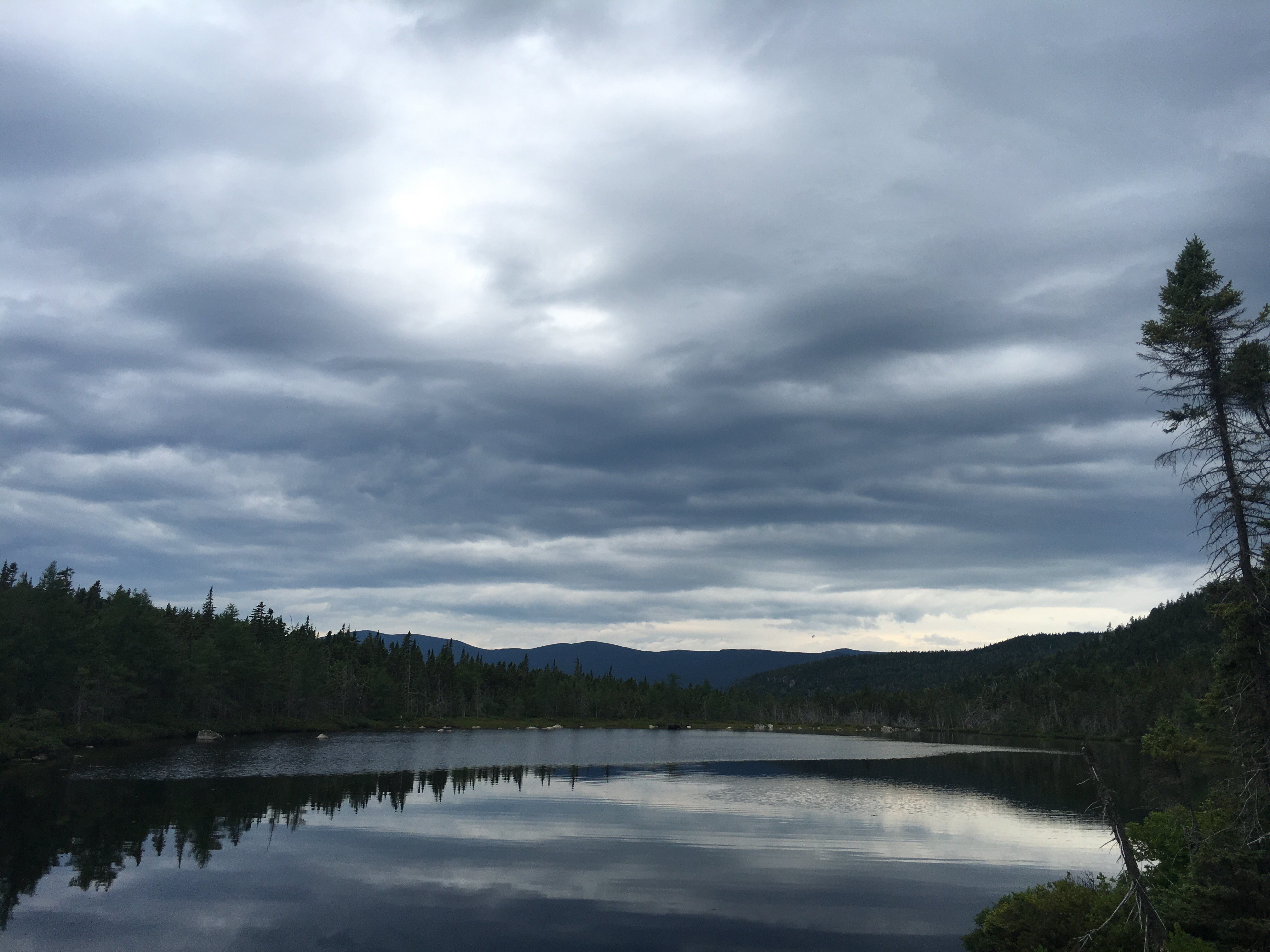
This is a view from Hopkins Lake in the Mount Baker National Forest. Washington was incredibly scenic.
My backpack is also significantly lighter than it was on the AT. I’m not bringing as many clothes, switching to a quilt helped, and I’ve definitely cut down on the amount of luxury items I’m carrying. I’m not sure anymore what my base weight is because I’ve changed things up quite a bit from when I started the PCT, but my estimate is around 11 to 12 pounds. For those who might not know, your base weight is the weight of your pack (including the weight of your pack) with everything in it except water and food.
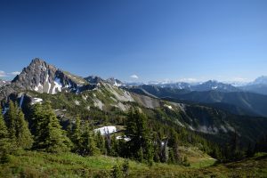
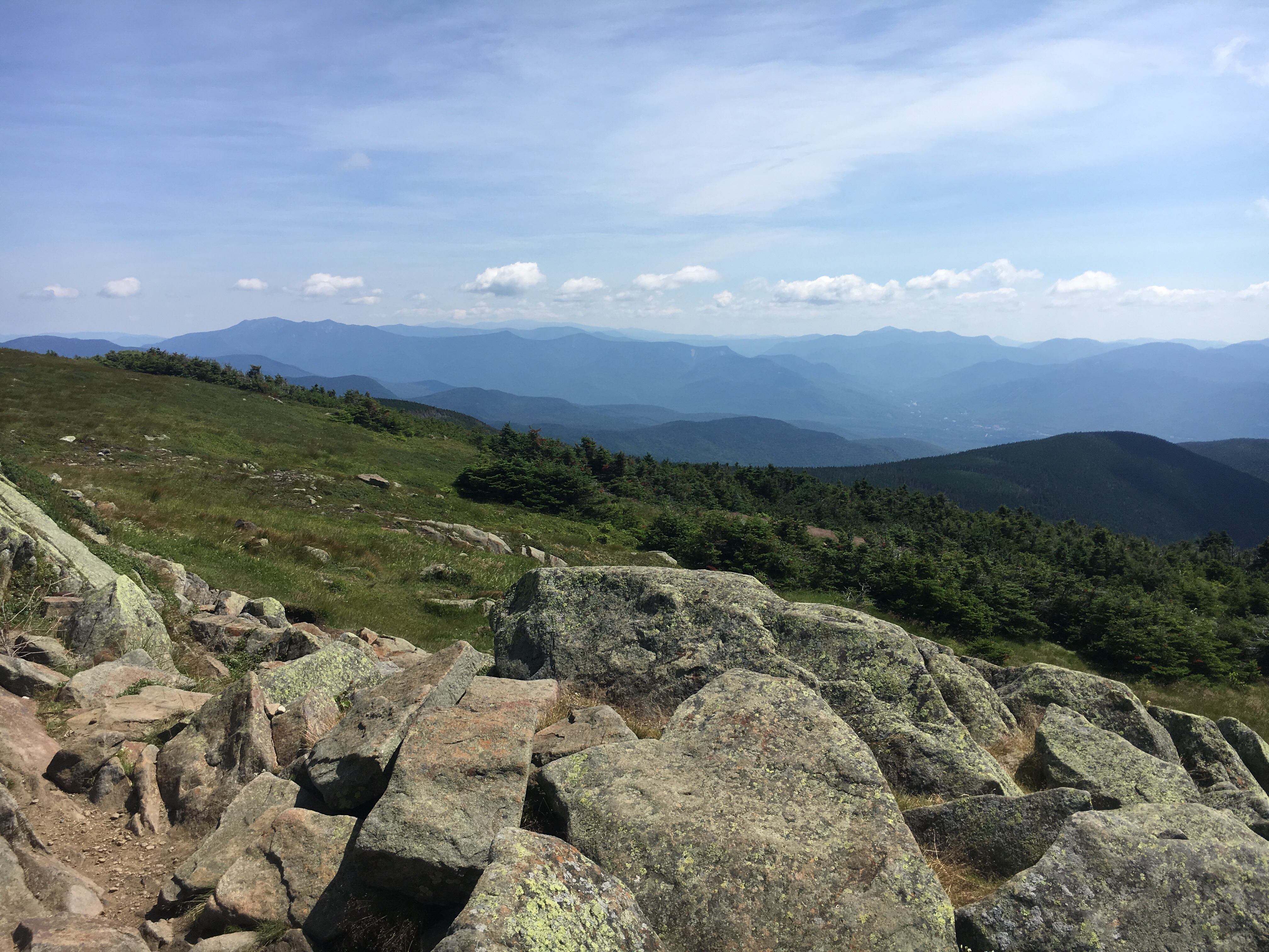
Another great view in Washington
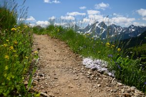
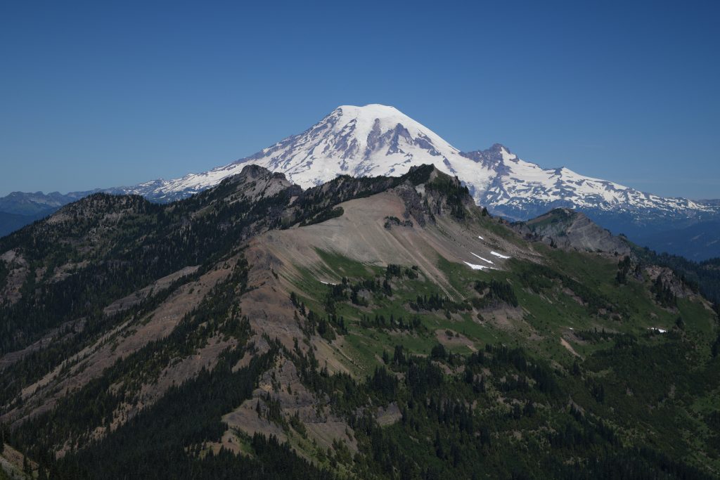
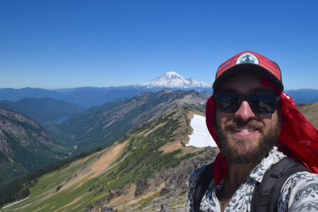
The PCT is also undoubtedly more scenic. I’ll have my dad upload some photos with the blog post and you’ll probably agree. The vast landscapes uninterrupted by human development just can’t be beat. I also love how much more wild it all feels. On the AT, you’re never far away from a town or a road crossing, but out here I feel much further from civilization. Another thing that has made the PCT amazing so far is the complete lack of rain. That’s right, so far I haven’t had a single drop of rain on me. It certainly has been a luxury I don’t think many PCT hikers have in Washington.
Washington State
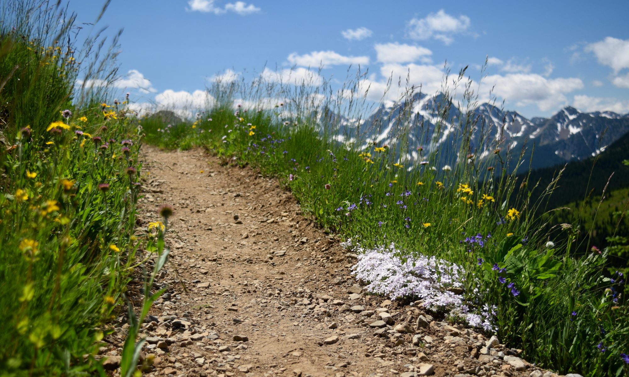
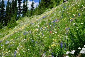
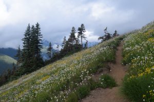
The wildflowers were in full bloom by the time I hit the trail.
Washington was broken into five different sections for me. I’d say overall, each section going south got a little less climatic, but goat rocks which was in the last section was by far my favorite section of trail that I hiked so far.
Things that stood out in Washington were the snowcapped mountains that surround you and passing each of the volcanoes of the Cascades. Going south in order I walked past Glacier Peak, Mount Rainier, and Mount Adams. Then in Oregon I walked by Mount Hood.
The wildflowers were in full bloom by the time I hit the trail.
Seeing each peak far in the distance at first and then grow day by day was a really cool experience. It gives one a perspective of the ground they are covering rather than just traveling through a green tunnel of forrest and not realizing how far you’re walking (although that has its own benefits).
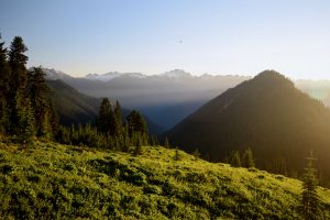
This was in Glacier Peak. The morning light made this one of my favorite times for hiking.
Because of the large amount of snow in the Cascades it was advisable to start with traction devices and an ice axe. Spring was pretty warm in the mountains and by the time I started most of the snow had already melted. This meant I didn’t use either my micro spikes or ice axe. I’m still glad I brought them though, the peace of mind was worth the two pounds it added. Stream fords weren’t much of an issue either.
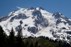
The northern face of Glacier Peak. The glaciers were very impressive.
There was only one ford that was memorable and it really wasn’t bad at all. Nothing like the fords people going nobo (northbound) faced. This year was definitely one of the most dangerous years on the PCT, but not for a sobo (southbound) hike. The dangers were all in the Sierras. A near record amount of snowfall mixed with a few heatwaves led to river fords that ended up killing several hikers this year.
I can’t remember the name of this pass but this was probably the most snow I saw on the entire PCT so far.
At the midpoint of Washington I took my first zero day in Seattle. My good friend Kaitlyn was able to pick me up and brought me to a surprise barbecue with all my friends. It was a real treat and I’m really thankful for it. Probably one of my favorite zero days I’ve had so far.
Me and my friend Melisa went to the beach and lots of food was consumed. I left feeling rested and excited to finish Washington state. Thanks guys!
The rest of Washington I didn’t really see the same people twice. Each day I saw more and more nobos. I also started feeling my trail legs coming on and decided to just keep doing 30s until it didn’t feel good. Turns out you can do them for a while on the PCT.
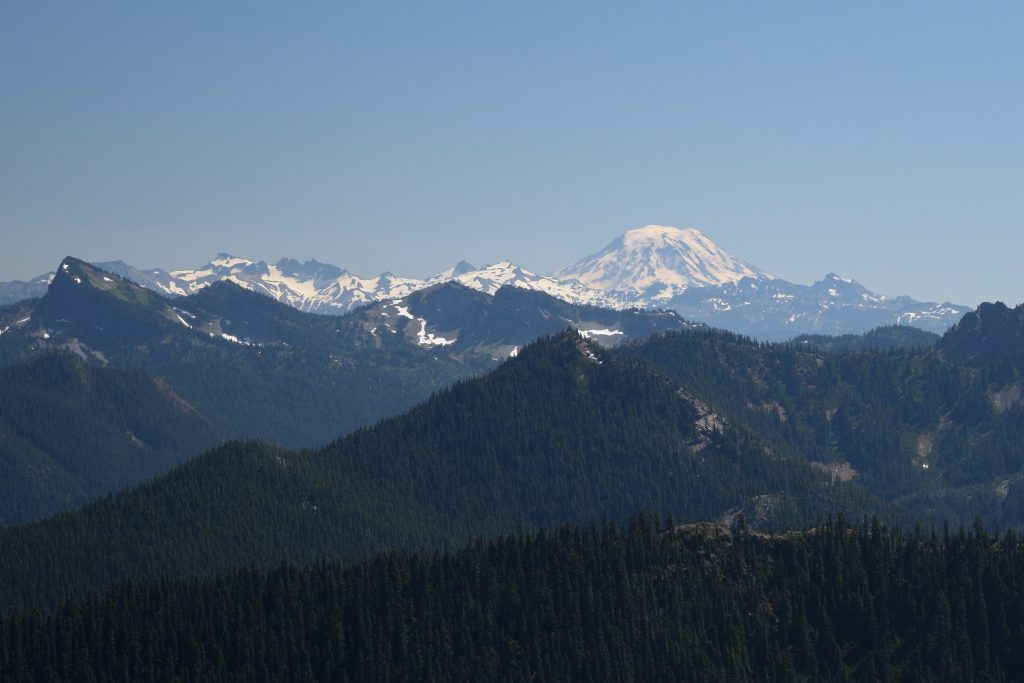
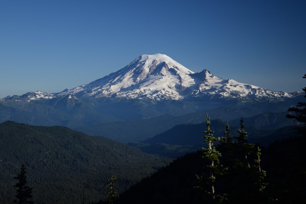
My first view of Mount Rainier from the PCT.Mount Rainier a little closer.This is a view of Mount Rainier from Goat Rocks, one of my favorite stretches of trail so far.Here I am in Goat Rocks!Goat Rocks again.
Coming into Cascade Locks though I decided would be a good time to take another zero. I also reunited with two sobos I already knew I liked hiking with. Dirt Squirrel and Pretty Boy both went into Portland which gave me a chance to catch up after my zero in Seattle.
Oregon State
Mount Hood just a few days after crossing into Oregon. The days after it was too smokey to see clearly.
Oregon presented a challenge that I haven’t had to face while hiking so far. Fires. Two sections of trail in Oregon were each closed on the PCT, and both of them didn’t have reroutes that were on trail. Each one would have involved a certain amount of road walking. I think the first fire re-route would have been about 40 miles on highways, the second one was closer to 16. This was road walking on windy highways, very small shoulder, and lots of blind turns.
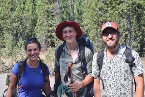
The only photo I have with Dirt Squirrel and Pretty Boy, I really need to focus on taking more photos of the people I hike with.
Because of the dangers and the shittiness that is road walking I opted to hitch around each closed portion of trail. I was torn about doing it. How it effected the purity of a thru-hike is something I’m still grappling with. Ideally I would have wanted to have a continuous hike from Canada to Mexico, but this year that would have involved the road walking. All in all I skipped 62 miles of PCT trail, not something I’m happy about. I don’t consider this yellow-blazing though. I didn’t skip trail to hike with friends, or to skip a boring section. The PCT was closed and roped off. There was no good re-route. Had there been other trails that provided an alternate I would have taken them. That’s what I did in Crater Lake.
Besides the fires, Oregon was great! The trail is super flat, over the span of 30 miles it would usually only gain and lose 5000 ft. The mosquitoes weren’t as bad as they were for the nobos which was nice. They definitely get old quick. There were a few longer water carries but that wasn’t an issue. I upped my water capacity to four liters and there were water caches for the longest stretches.
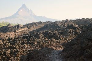
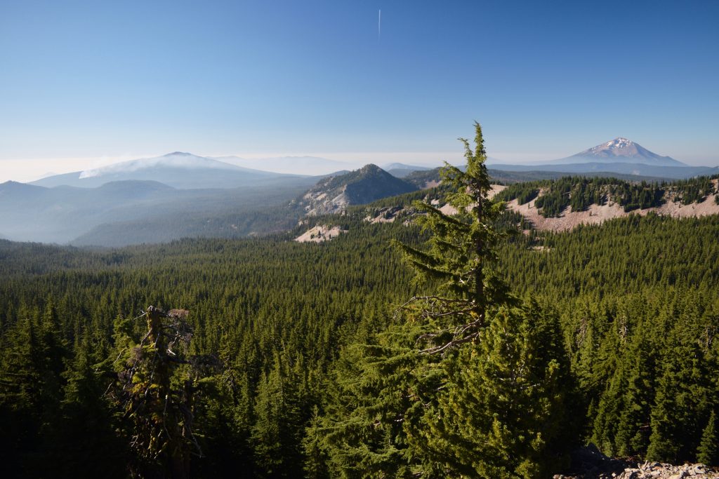
I believe this is the Three Fingered Crags in the Deschutes National Forest. The lava rocks were really cool hiking over.
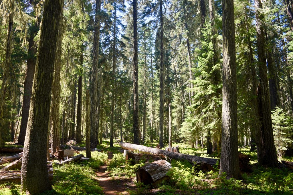
The scenery in Oregon wasn’t as spectacular as it was in Washington, but the forests were really nice to walk in.
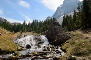
A scenic water source right under Mount Theilson just before I got to Crater Lake.
Having shade was nice and it was a welcomed change of pace. Even the most mundane sections of the PCT have been pretty. One thing that was really cool was walking through the lava fields of the Deschutes National Forest. There was very little vegetation and the smoke from the surrounding fires made it feel like I was backpacking through Mordor.
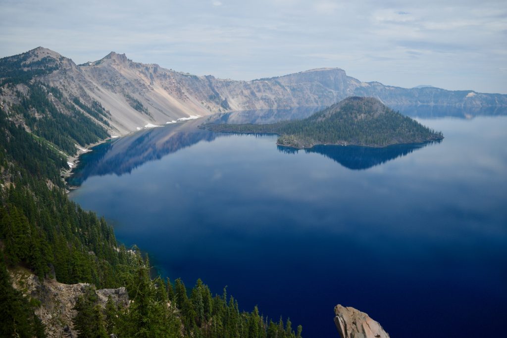
At first I didn’t think I was going to be able to hike the Crater Lake Rim Trail, but luckily it opened up and I got to see Crater Lake for the first time.A nice morning view in Southern Oregon.I really enjoyed walking through the forests in Oregon, even if there weren’t as many view points as Washington.
Heading South From Here
Right now I’ve been on the trail for 39 days. I’m off right now camping with my dad and brother waiting to see the solar eclipse. I got off the trail at Calahan’s which is a resort in southern Oregon. I have about 26 miles to go until the Oregon California border which I’m very excited for. Walking home into California is something I’ve been thinking about for a while now. It’s always difficult to describe what it’s like for me out on the trail, and not doing an update for a whole 900 miles definitely doesn’t help. Again, I do apologize about not doing these updates more frequently, but my main focus out here has been on hiking. I just want everyone to know how great I’m doing out here and that the PCT has been nothing but amazing.
As many of you know, I have decided to attempt a PCT thru-hike. Rather than going northbound, I’ll be headed south. The reasons for a southbound hike vary for person to person, but for me the timing worked out better than a northbound thru-hike.
As you may be guessing, a sobo thru-hike presents a few unique challenges. This year I’ll have snow to contend with right from the start, due to an above average snow year here in Washington. Starting from the northern terminus also means walking on trails that maintainers haven’t had time to get to. Fallen trees often make the trail an obstacle course, something most people forget to think about. Timing is another factor to always consider. To make a complete one season thru-hike, I’ll have to exit the Sierra Nevada ideally no later than early October. Any later and I’ll risk overnight snow storms. Another thing to consider is the water situation as I get to Southern California. That time of year it is very dry and I don’t expect many natural water sources to be flowing.
With all of these obstacles, one may think of this as a daunting task. I however, try and take things step-by-step. Right now I’m very involved in the planning process, but primarily for Washington. How will I get to the trail? Where will I send bounce boxes? How many days of food until the next resupply? These are the things to worry about right now. It is important to keep the timing in the back of my head, but I’m not going to make my thru-hike a terrible experience just to do it in one season. As for the water situation in southern California, I’ll just have to deal with that when I get there. People make great resources that track water source statuses, and I’ll be in great shape by the time I get there which should let me do bigger mile days with less water.
As I’ve said before, every thru-hike presents its challenges. The best thing I can do is prepare to be flexible and always be safe.
A lot of the information I’m using to plan for this hike I’m getting from https://www.pctsouthbound.com. This is a website made by sobo thru-hikers from last year, basically because they wished someone else had made something like this for them. Thanks guys! I’m also using resources provided by Halfmile. He maintains topo maps and updates them with waypoints of current, up to date information. What he does is amazing, especially when I figured out how to pair his GPS information with my own GPS software. Here’s his website: https://www.pctmap.net/maps/. Another great resource for anyone planing a PCT hike is Halfway Anywhere’s PCT resupply survey. He asked hikers where they mailed themselves food and compiled a list of the most common mail drops. It’s really useful to see what worked and didn’t work for past thru-hikers. Here’s the link: http://www.halfwayanywhere.com/trails/pacific-crest-trail/pct-2016-survey-resupply-guide/
I’m so excited to get back into the long distance hiking lifestyle, and I hope I can share that excitement with you all. That’s why I’m going to try and keep updating here with gear lists, photos from prep hikes (hopefully), and any other bits of information between now and when I leave. Thanks for checking in, it’s going to be a crazy ride!
Some may know from my Facebook page, but recently I finished my thru-hike. Words can’t really describe how it feels to be done, but I’ll give it a try. It’s a mixture of sadness that it’s over, and being excited to come home. Having my bed back and a place that’s dry in the rain sounds quite appealing. It also hasn’t really sunk in. I don’t really feel like I just walked 2189.1 miles, and I know it’s an accomplishment I should be proud of, but it just feels surreal. One thing I do know is that I am very excited to be back in Santa Cruz. I really miss cohousing and all my family and friends, and I’m quite excited to be back.
The trek from Stratton to Katahdin was beautiful. I may have mentioned this before, but Northern Maine is one of my favorite parts of the entire trail. I stopped in Monson just before the 100 mile wilderness to do a resupply and eat some barbecue, but didn’t really have time for a blog post. That’s why it might seem like you haven’t heard from me in a while. The 100 mile wilderness is the section from Monson to Abol bridge, a total trail distance of about 100 miles where you can’t resupply. However, it’s kind of a joke. Yes, there is no place where you can purchase food, but there are multiple dirt roads that you can pay to have food drops sent, and there’s even a place in the middle where you can mail food for a $10 fee. I opted to just hike fast and light, so four nights of food was plenty. I even had time to enjoy the many lakes and swimming holes. What a treat it is!
After Abol bridge I had about 9 miles to the base of Katahdin, so I purchased food for that evening and my hike up the mountain. Then it was off to the Birches, a shelter meant only for NOBO long distance hikers who may not be able to make reservations in Baxter State Park long in advance. When I left Abol bridge I was told by a trail steward that there was space in the birches, but I guess there was some snafu and I didn’t end up getting a spot. No problem though, the ranger at Katahdin Stream Campgrounds was able to squeeze me in with some other people who reserved a lean-to. He was very kind about the whole thing and said it would be fine is I pitched my tent. This was all fine by me because Katahdin Stream Campground is just as close to Katahdin as the birches, just over 5 miles to the summit.
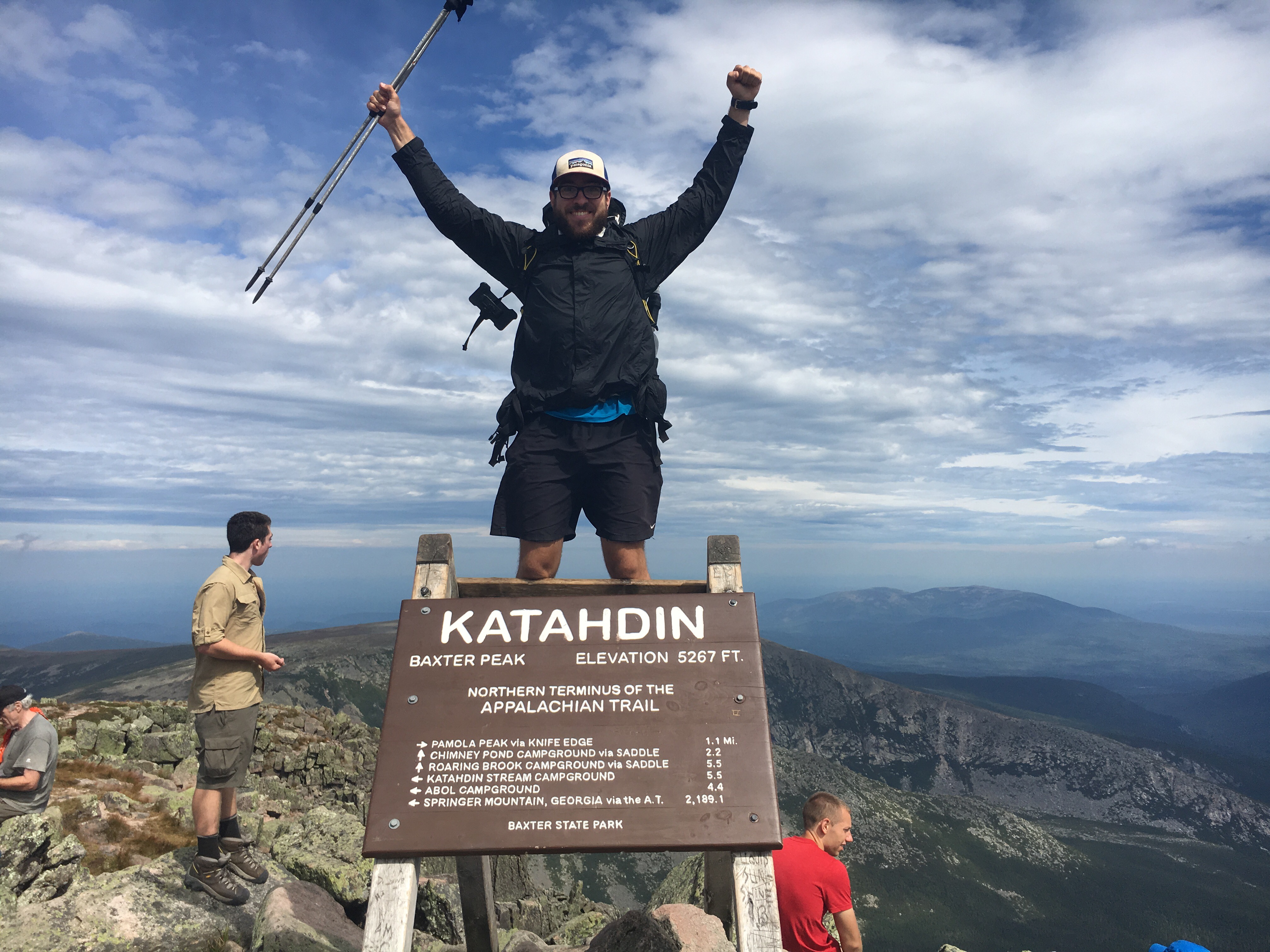
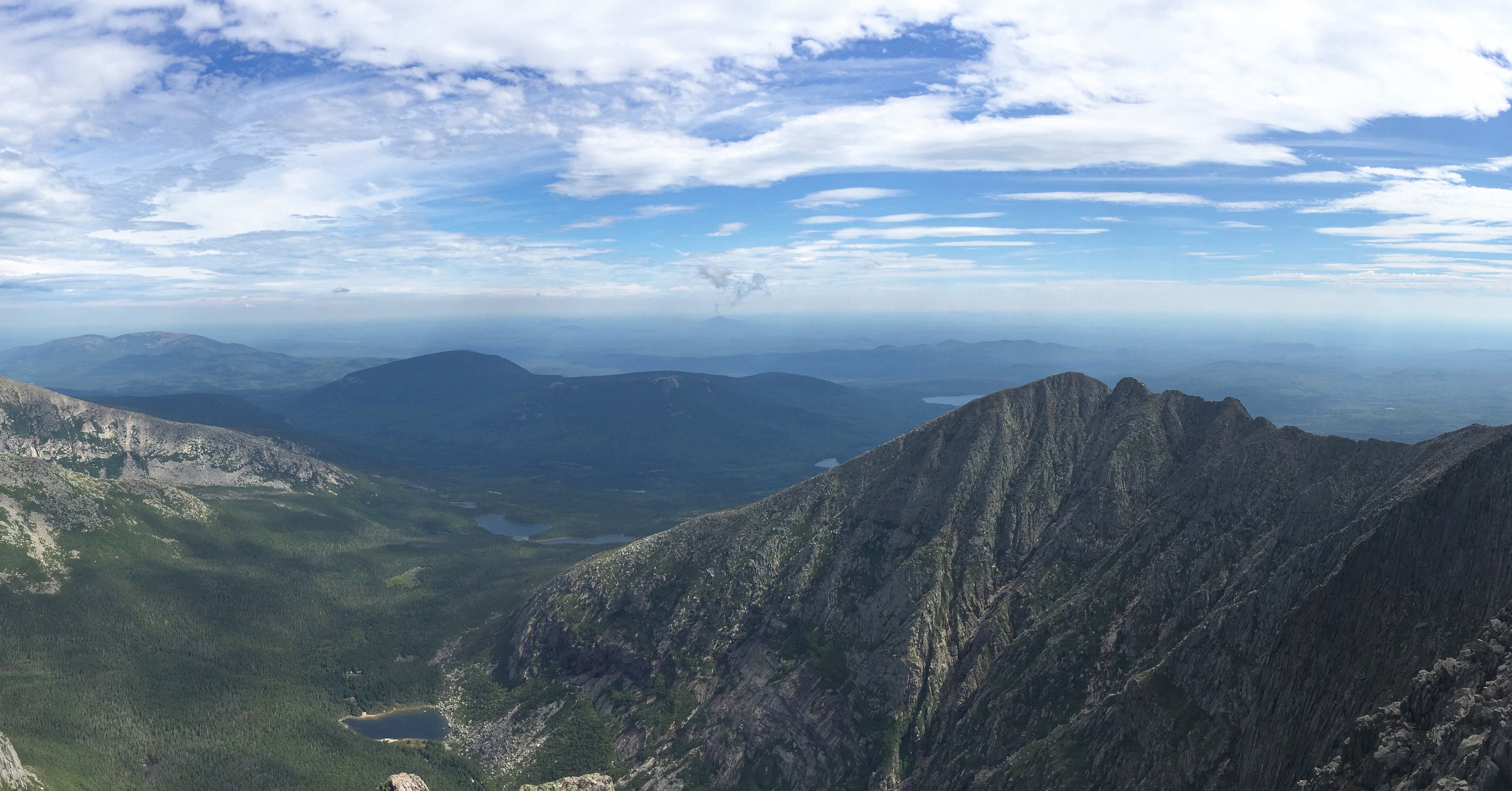
The climb up Katahdin is no joke. It was arguably the toughest climb on the entire AT! I found myself rock scrambling multiple times and having to pull myself up by my arms. In several places it’s quite exposed and a fall could be fatal. I was careful and didn’t have any issues, even with my fully loaded pack (hardly any food though). I could have kept my pack in the ranger station and used a loaner day pack, but it just didn’t seem right. My pack has been with me this whole time and I couldn’t bare the thought of it sitting alone in the ranger station. It deserved to see the summit just as much as I did.
At the summit I had a feast of poptarts and fruit snacks. If my pack didn’t give away the fact I was a thru-hiker than my choice of lunch items sure did. Again, it hasn’t really set in, but it was really nice being congratulated by so many strangers. I couldn’t imagine a better place to end a thru-hike. The views atop Katahdin are some of the best on the entire AT. I sat atop the mountain for a little more than an hour before starting my descent. Ascending Katahdin is hard enough, but the descent was just unforgiving. Remember that going up I was approaching the final destination of a six month backpacking trip. I was excited to say the least. Adrenaline is pumping through you and all you can think about is that final summit photo. Coming down I was tired and just wanted to be home. I wished that I could reach the summit and be magically teleported back to Santa Cruz with friends and family… and vegetables (it’s been a while). Instead it was a grueling descent followed by a long hitch to a podunk town. It’s ok, I made it, and I’m used to podunk.
You would think, setting out on such an adventure I’d come up with some epiphany of life. What it means and what my part in it is. Actually I don’t feel any wiser, I have just as many questions as I set out with, if not more. That’s not to say though that I didn’t take anything away from this trip, I did. As cliche as it sounds, your dreams are truly possible. With enough hard work and determination, you can achieve anything. You just cant give up. You’ll either die trying, in which case it won’t matter because you’re dead, or you will succeed. Death, or success. Another take away from this trip was how much more people matter than things. Rather than spending time surrounding oneself with material possessions, try and surround yourself with genuinely good people. I’ve thought a lot about the tiny house movement that is becoming more popular and it does intrigue me. It’s kind of a cross between living out of a backpack and having a home. It also forces you to think about the things you really need, and to throw out needless stuff, a lot like backpacking! Anyways, these are just some of the things I’ve thought about as I walk.
Tomorrow I’ll be taking several buses to get to Portland ME, where I will fly out of Monday. Like I said before, I’m extremely excited to see many of you at home and I can hardly wait any longer. That’s all for now.
Finally got out Andover and now I’m in Stratton. It’s not a huge leap forwards, but it does feel good getting past 2000 miles. 1900 to 2000 was by far the most difficult 100 miles on the AT. Getting sick, having a death in the family, and generally rough terrain made for a very difficult 100 miles. What was once a nero now feels like a full days work. The current concoction of drugs I’m on is keeping me out here, but I still need to take it easy. Today I’ll be making my new plan for when I’ll get home, and this time error towards a conservative pace. Not that my original plan was crazy, it just didn’t account for a week being stuck in bed.
Yeah, it felt pretty good.
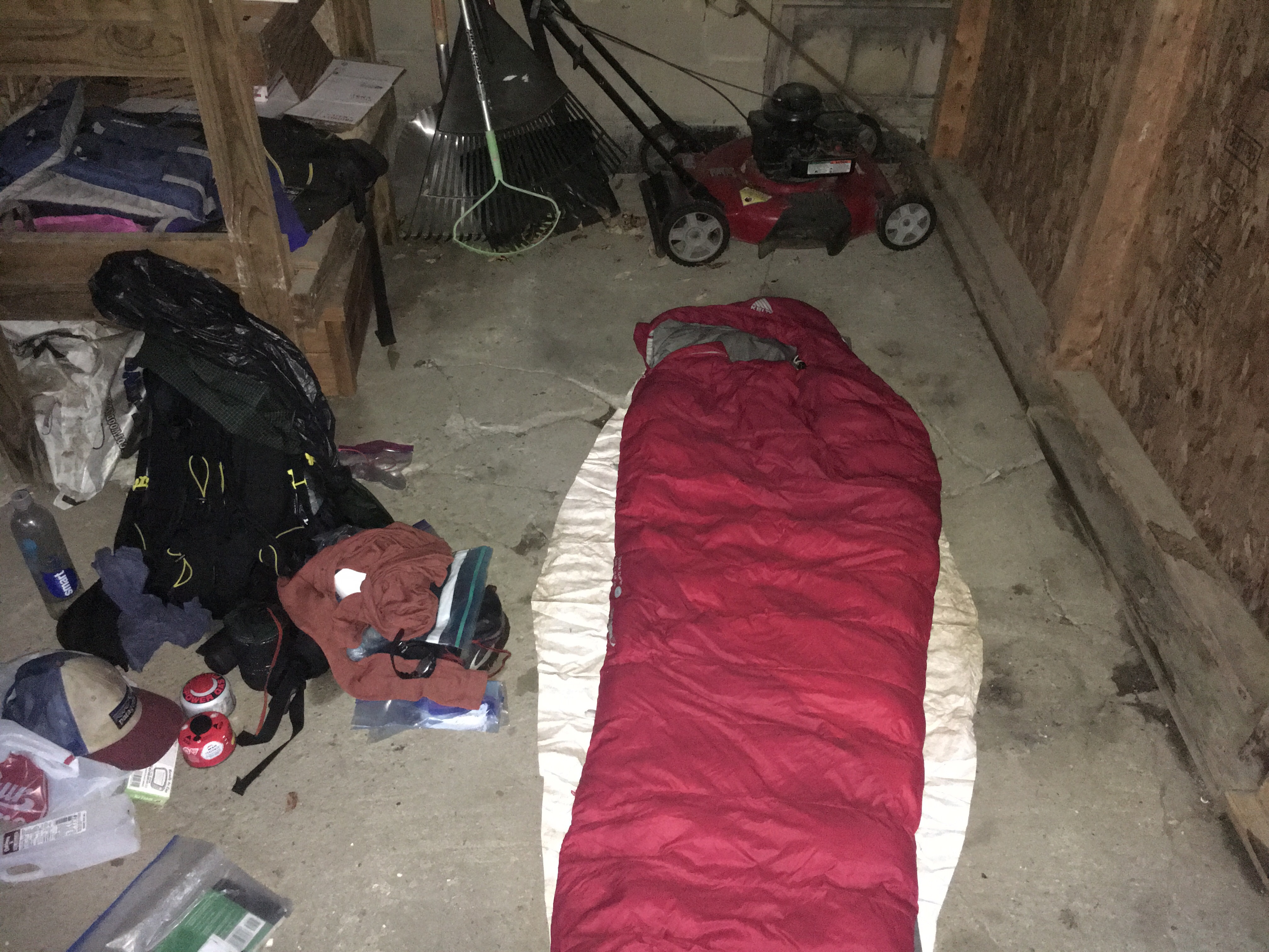
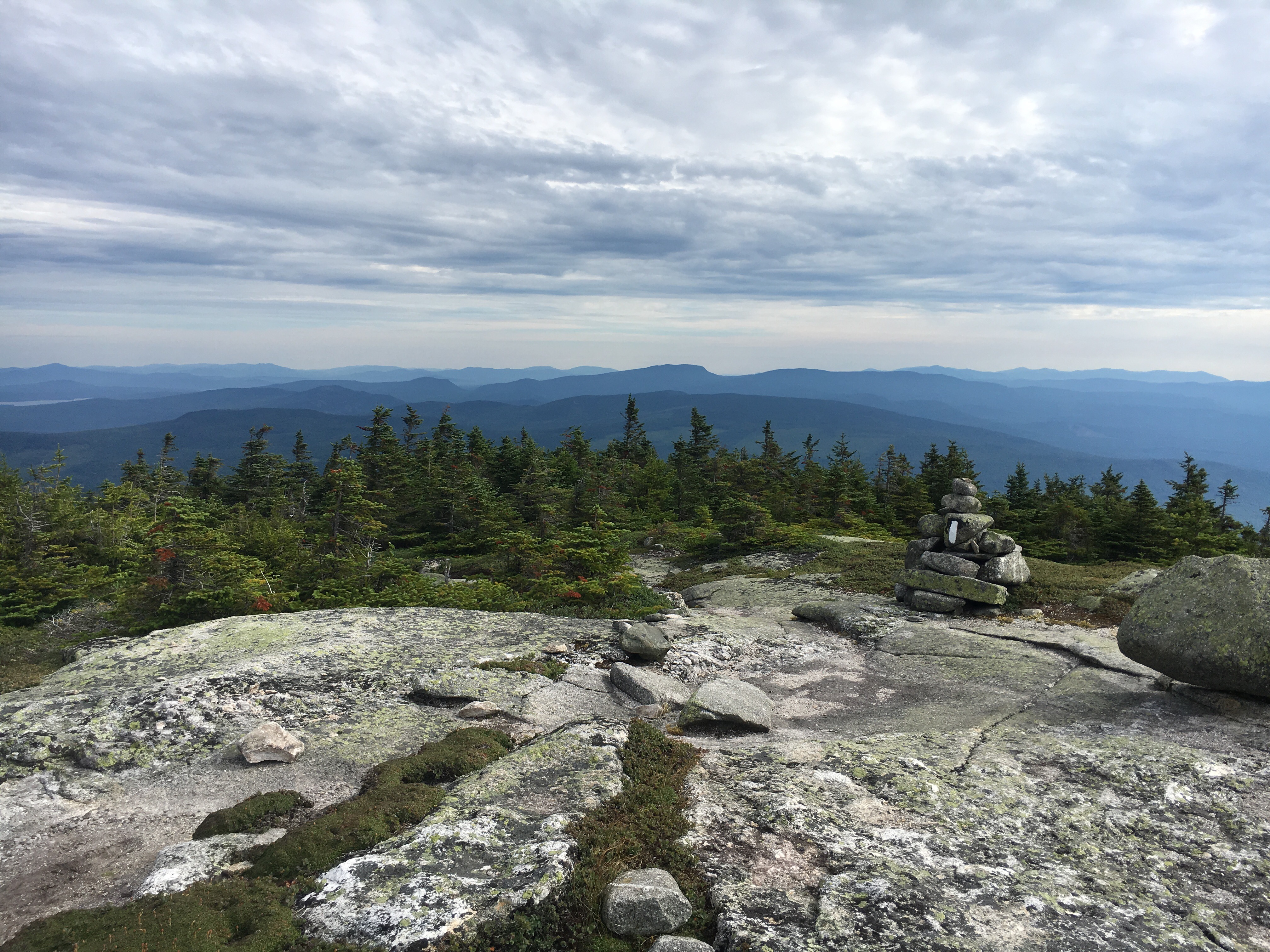
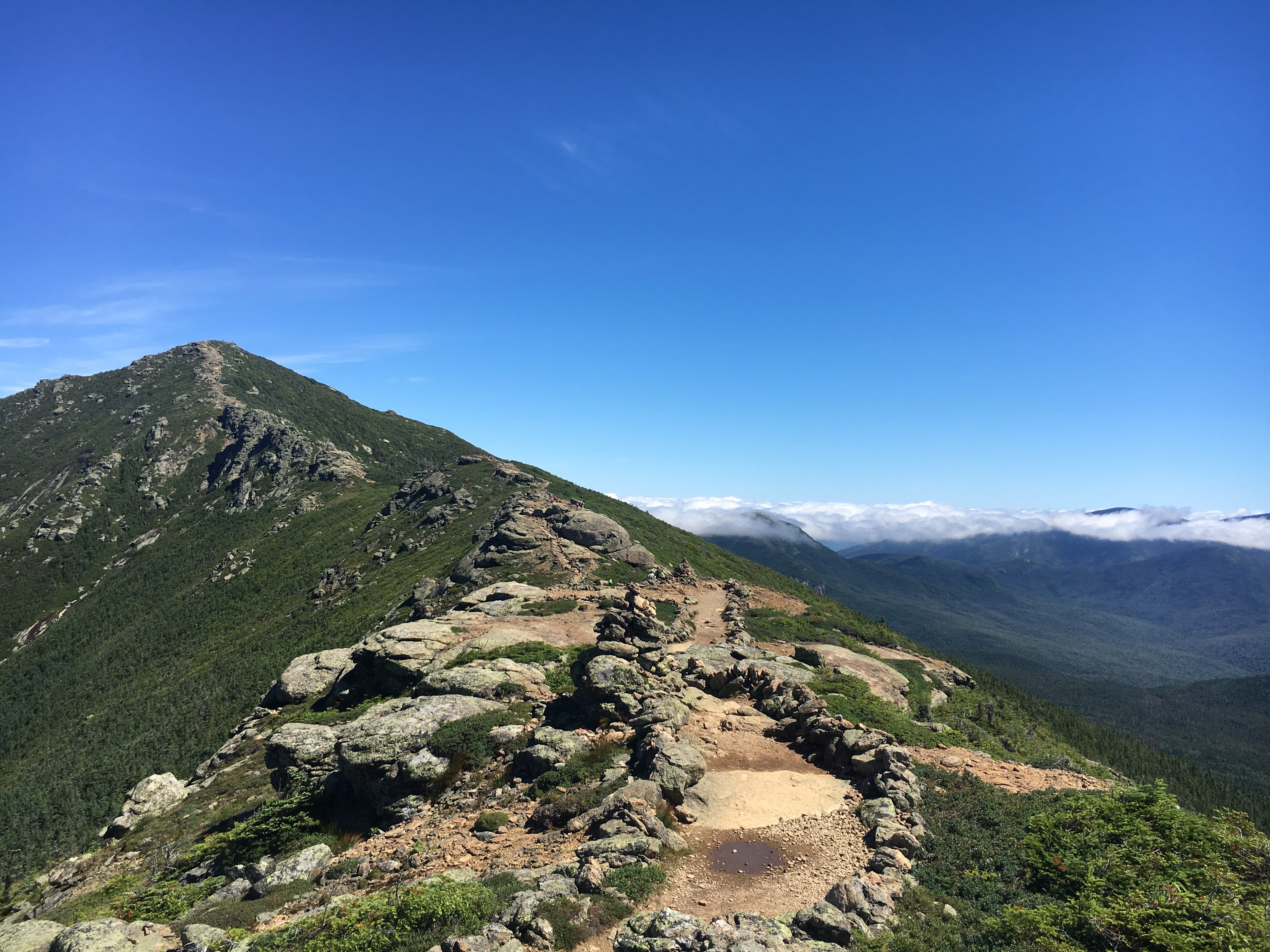
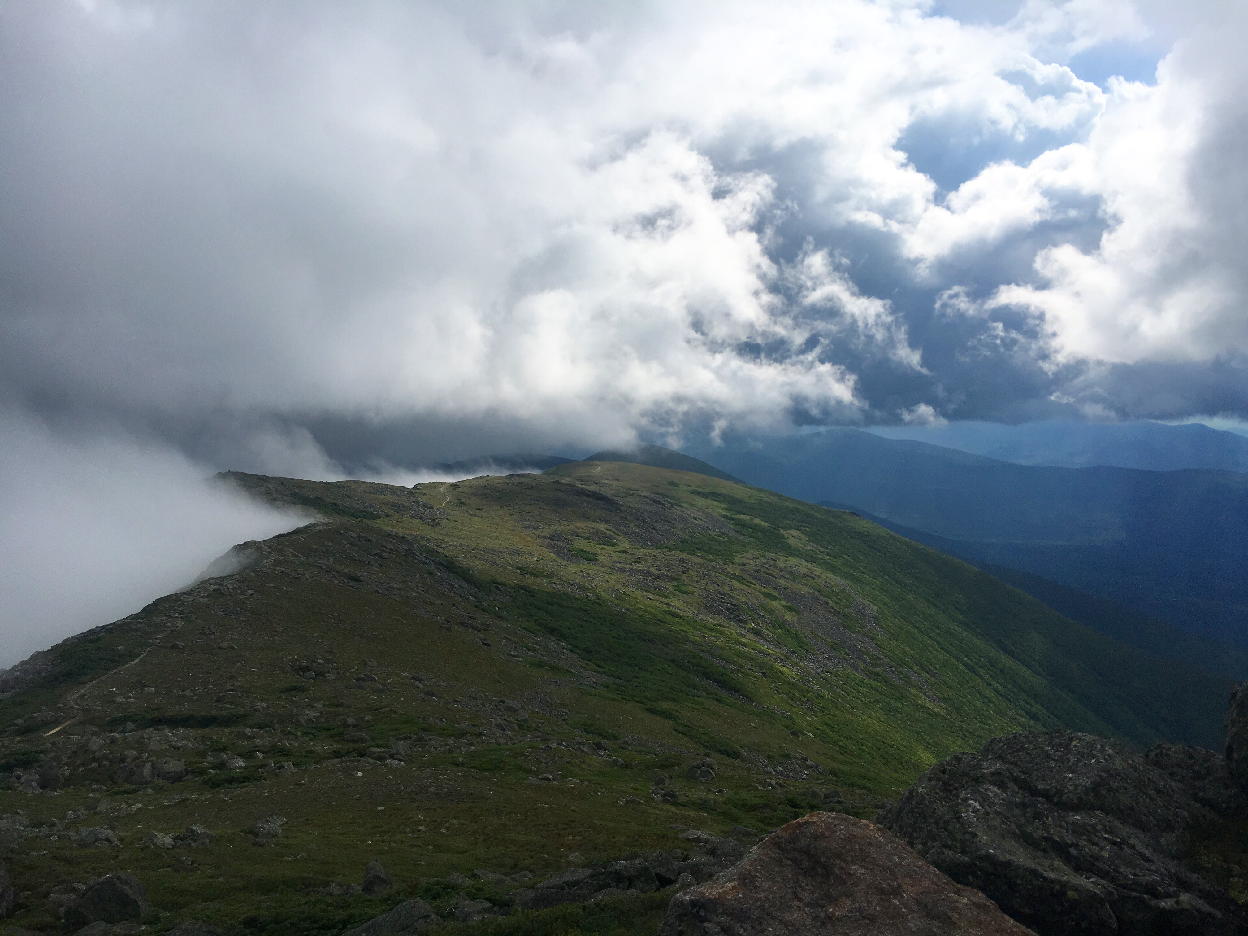
Since Andover I’ve had multiple sections on exposed ridge line. The views have been nice, but many of them have been clouded over. These past few days have been rather wet on trail. I’ve been able to stay relativity dry, except for yesterday when I was soaked. By now you’d think I’ve learned to make reservations for the only hostel in town, but no. When I finally got to cell reception I was too late. Every place in town was booked and I didn’t have any food. Luckily, what would have been a terrible evening turned out alright in the end. I had to go to the hostel to pick up a box, and when I got there I was offered a spot in the garden shed. It was dry, and I was still allowed in the communal area. I happily booked two nights, allowing me time to plan the remainder of my trip and do laundry today. It’s probably not a bad idea to zero anyways because I’m still recovering from whatever sickness I had.
Home sweet home!
Tomorrow I’ll go over the Bigelow mountains, the last “big” hump before Katahdin. There’s a few glitches here and there, but most SOBOs (south-bounders) say it’s not that bad. I won’t lie, I’m a bit relieved to be getting out of southern Maine. As beautiful as it’s been, I’m starting to feel a great pull towards the finish line. Ok, now off to go do laundry.
Part of me has been dreading writing this post, but it seems like this is my last chance to use a computer and keyboard for a while, so here goes.
A little more than a week ago my Grandfather passed away. He was a man loved by many, extremely charitable, and I looked up to him greatly. It’s not an easy thing to have happen, on trail or at home. But being on the trail during this time has been extremely testing. For the first time I was having moments thinking to myself “why am I here? I should be with my family.” Earlier on my trip, I had several conversations with him, each time I knew he was extremely proud of me. The fact that I was following my dreams, and not necessarily the beaten path. Hearing this meant the world to me.
Even up to the end, I was able to get brief moments with him on the phone. Not minutes, but only mere seconds. Seconds filled with him telling me how proud he is of me. If it weren’t for those moments, I’m not sure I’d still be out here. I know he wants me to finish my hike, and now I’m doing it for both of us.
A few days after I got the phone call from my Dad I arrived in Andover ME. In Virginia I got word about a place known as The Cabin from Soccrosse. He said I had to stay here, even though the guide book gives very little information about the place. Just a phone number and required reservations. Of course I stayed here, valuing a friends suggestion, and I am so glad I did. When I arrived I could tell I was coming down with some kind of a cold. My head was a block of mucus and my body was very achy. Not good for backpacking. I’ve ended up staying here for an entire week, and they’ve been very nice about the whole thing. The Cabin is run by Margie and Earle Towne (or Honey and Bear), they’re both retired and in their eighties. Retired really isn’t the right word I guess, because they still do a lot of work for us hikers. Breakfast every morning and diner every evening. They usually have left overs too. A fellow hiker named Hopper also helps out with chores and shuttles.
So as you can see not to many things to write about in the blog. Today I finally seemed to be on the mend, so I’m hoping I’ll feel well enough to hike tomorrow. As nice as The Cabin is, I really want to get back on that horse. If things go well I’ll find some time to write an update in Stratton, 4ish days from now.
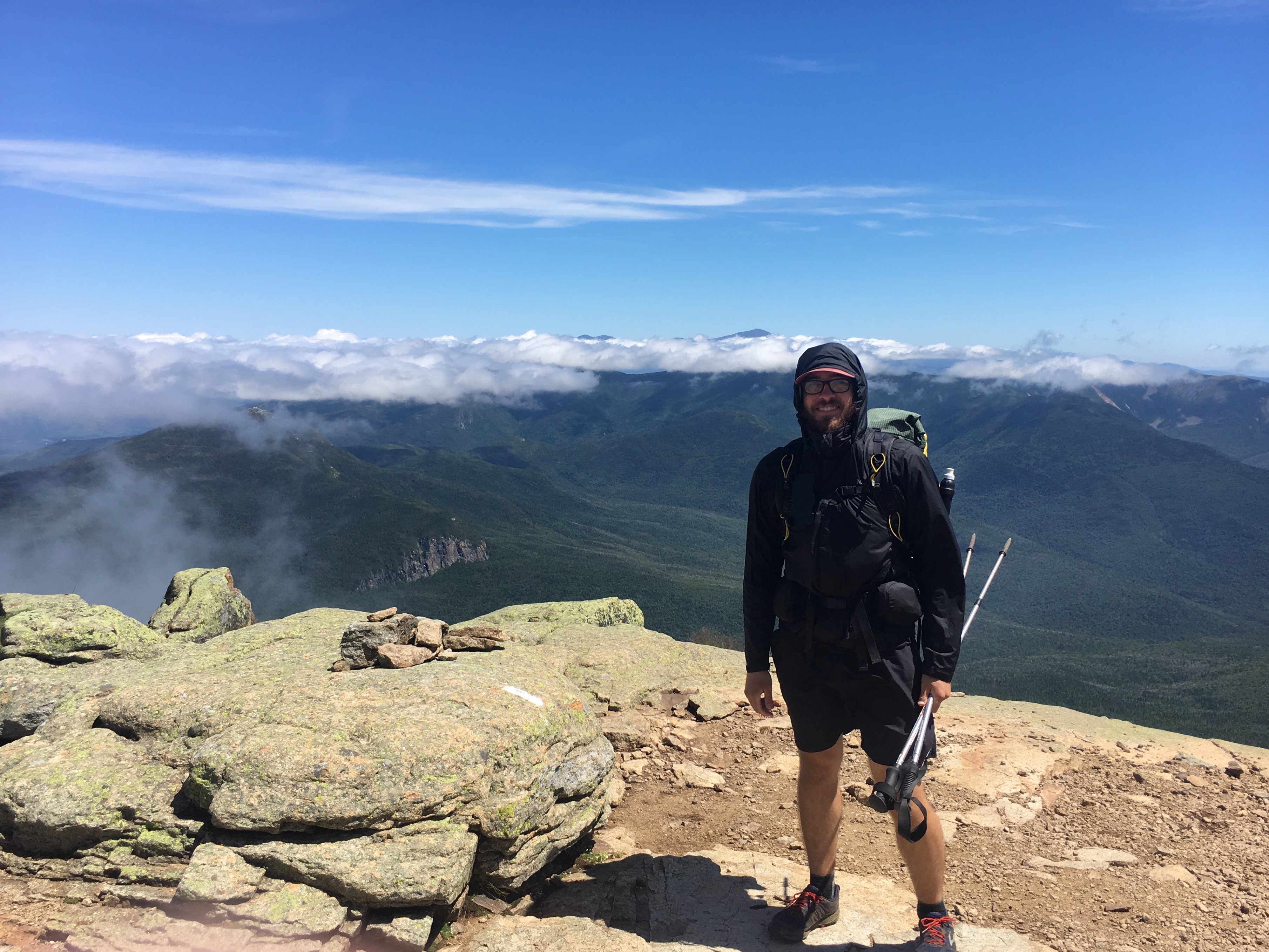
So here I am in Gorham, NH, about 17 miles from the NH/ME border. Just under 300 miles remaining. The whites were undoubtedly my favorite part of the AT so far. The views are spectacular, and I love being above tree-line. It might just be because I was lucky with the weather though. It would not be good to be on exposed ridge line and in a thunder storm.
Franconia Ridge, not a good place to be in a thunder storm!
After my zero in Lincoln, the AT went over the most prominent mountain ranges in the Whites. Franconia Ridge, with mount Lafayette and Lincoln, and later the presidential range, with Mount Washington and a whole bunch of other peaks. For some unknown reason, the AT proper doesn’t summit many of the peaks in the presidentials, so for that section I technically didn’t follow the AT because I wanted to summit each and every one. Call me a blue blazer if you must, but in the end it just made my route more difficult, adding a whole lot more elevation gain and loss.
The first half of the presidentials.
Like I said earlier, I was extremely fortunate with the weather. Every ridge line I was on I had good weather. I even had clear skies on Mount Washington, which boasts having the worst weather in all of America. I’ll actually go into detail with Mount Washington.
Summit of Lafayette. It was very windy!
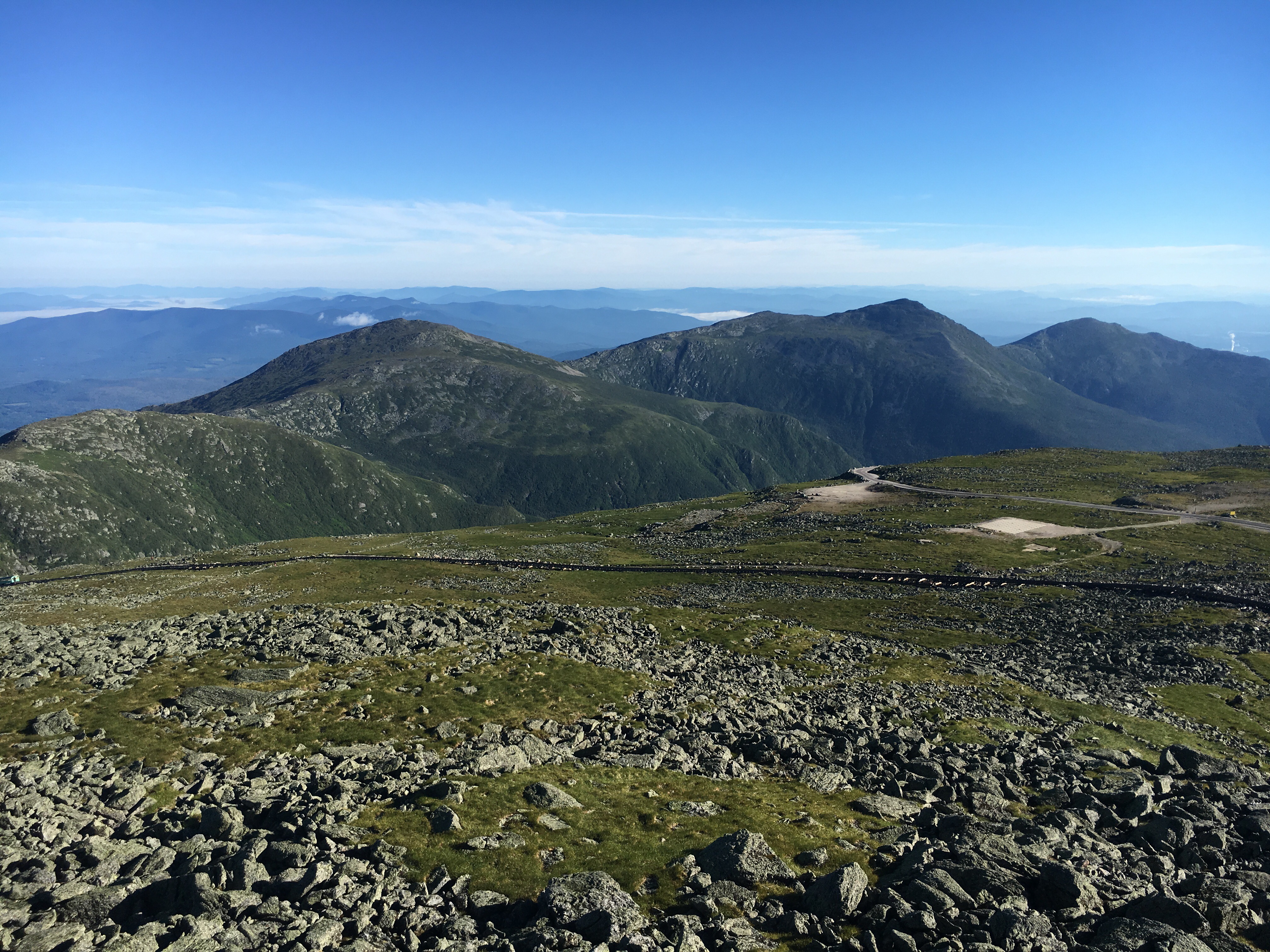
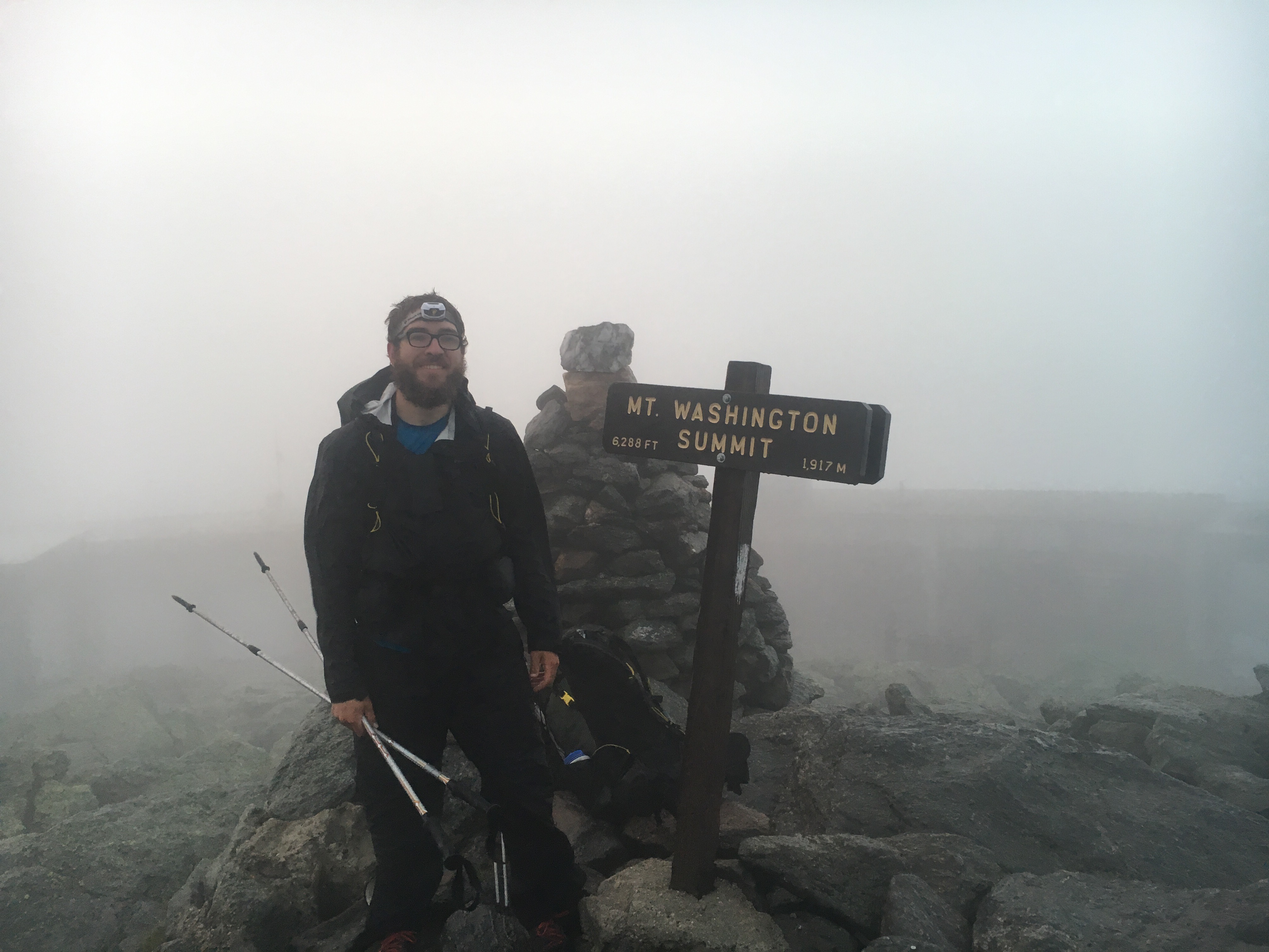
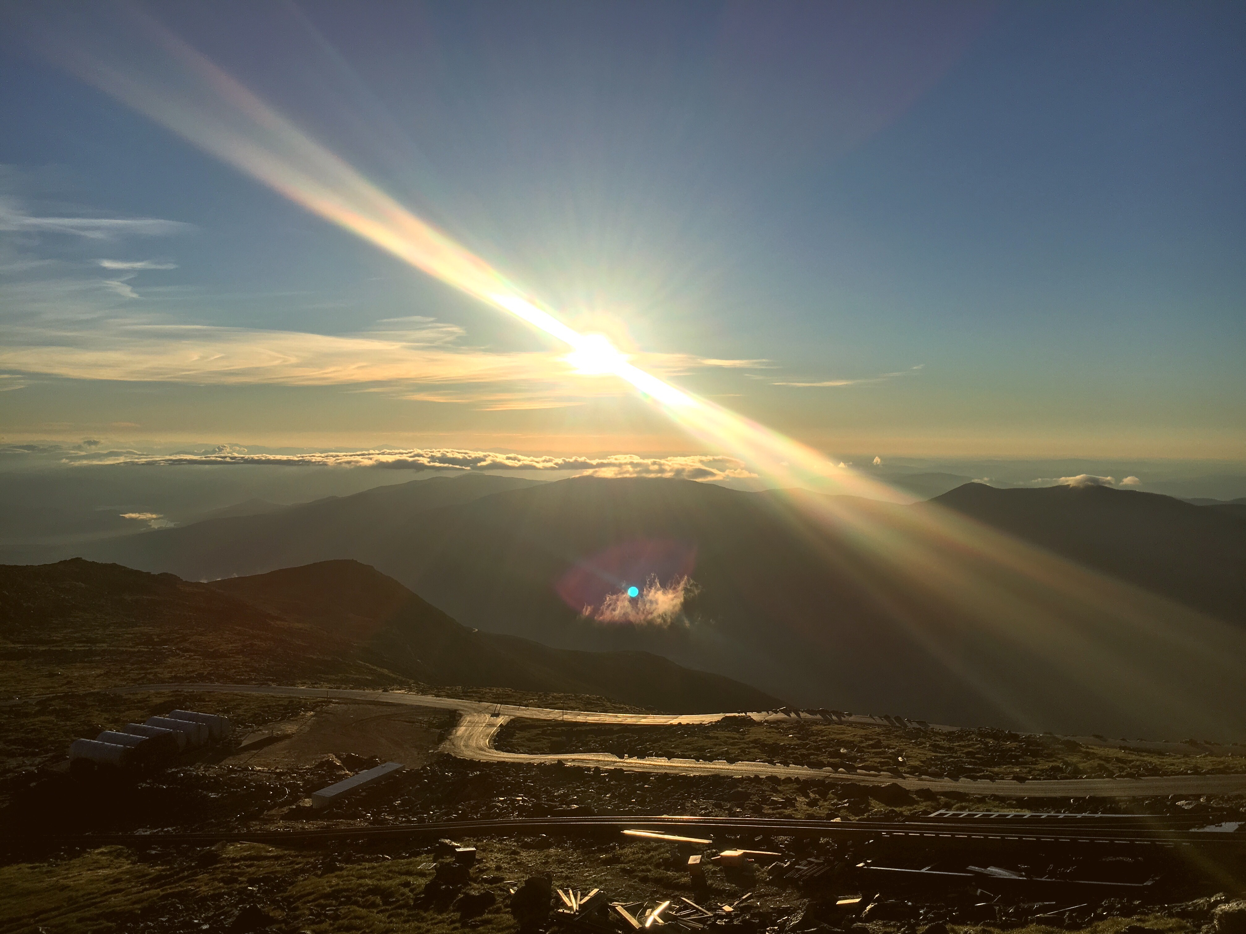
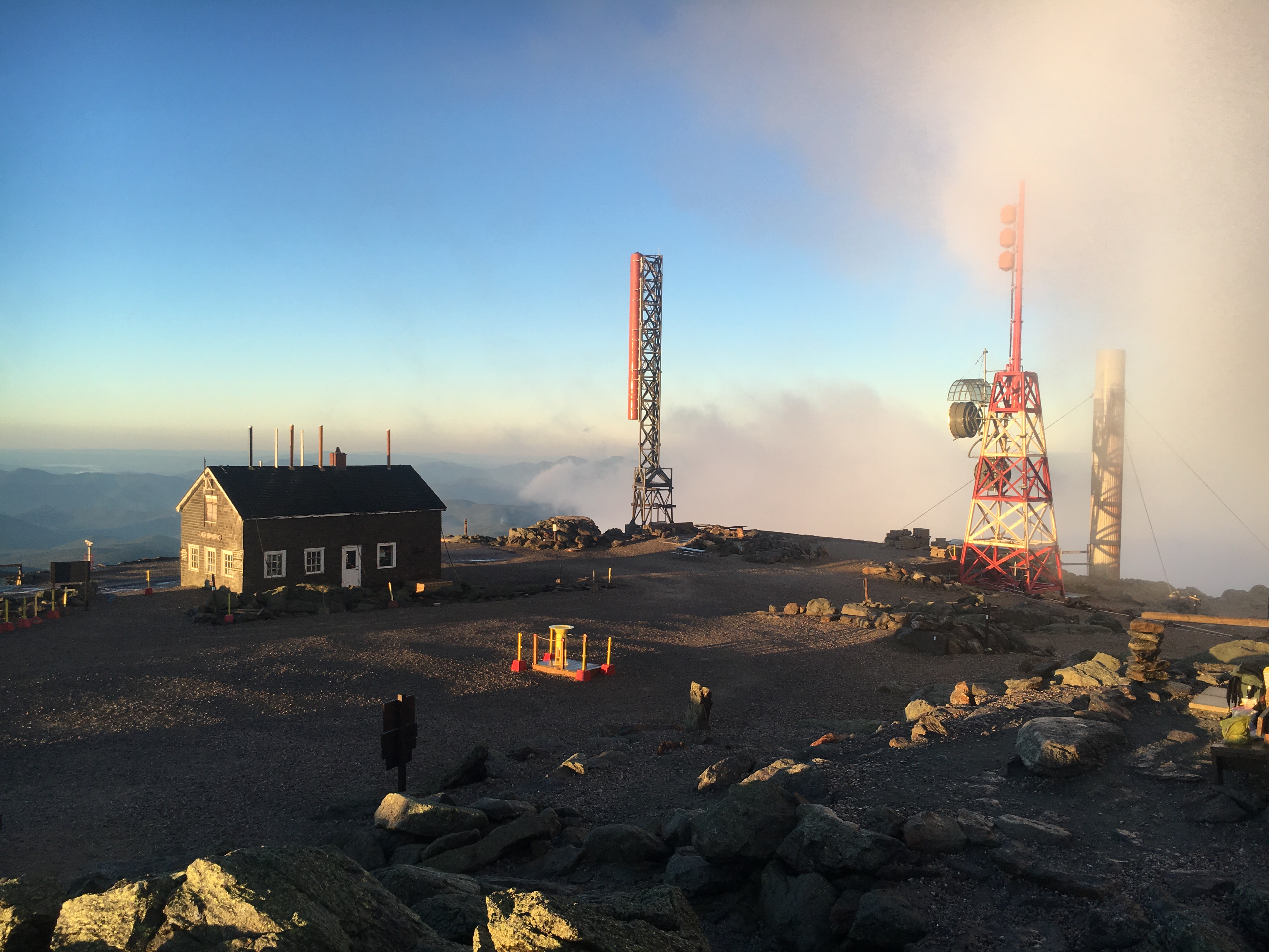
The day prior I did the first half of the presidentials, stopping at lake of the clouds hut. Because it’s the most popular hut, I refer to it as lake of the crowds. Due to bad weather prior, a large bubble of NOBO thru-hikers had formed, so there were about 20 of us there that night. This meant work for stay wasn’t an option, but they let me sleep on the common area floor for $10. Me and a fellow thru-hiker Mogley decided to catch the sunrise on Mount Washington the next morning. That morning I woke up at about 4:15 with a red headlight shining in my face, a little disorienting at first. As quietly as I could I grabbed my pack and walked outside. There were still patches of fog, but at times it cleared and you could see the moon and some stars. It was very beautiful. With my headlamp on we started the ascent. It’s 1.5 miles and a 1000 ft elevation gain from the hut, so close but not immediate. Unfortunately we were too late for the initial sun rise, but it wouldn’t have made a difference because it was still foggy at the time. That’s when we did our summit photos. Luckily by about 5:45 the fog cleared and we got some spectacular views. Unlike what I’d expect, the summit of Mount Washington is quite developed. A weather station is staffed year round by meteorologists and there’s even a cafe and museum. Not to mention a gift shop, post office, and parking lot. Yes, you can drive to the summit, or if that’s too much work you can take a train… Due to the train and road, Mount Washington sees lots of visitors. Especially on a day with such good weather as we had. For this reason I decided just to stick around until the snack bar opened and then make my way down. I timed my descent perfectly. There are many thru-hiker traditions. Jumping off the James River foot bridge in VA, hike naked day on the solstice, and mooning the cog railway on Mount Washington (the cog is the train that goes to the summit). As a NOBO, you walk away from the summit when you pass the cog, so I figured there would be little chance of getting in trouble. Also, it’s a once in a life time opportunity. How many times will you get the chance to show your ass to a bunch of tourists as they’re pulled up the side of a mountain at 5 mph? I thought it was comedic, maybe I’m the only one.
The view from Mt Washington, the cog railway in the foreground.
Again, so much happened that I just don’t have time to write about it all, so I’ll just attach a bunch of photos and share the beauty of the whites.
So happy the clouds parted. Mount Washington summit. If you look closley there’s a moose on the other side of the lake.
-Orion
Well, here I am in Lincoln taking another zero, much earlier than I had planned, but it seemed like a good thing to do with severe thunder storms forecasted. It payed off, we did end up with some thunderstorms and rather than on an exposed ridge line, I was sitting happily inside a Dunkin Doughnuts. I’m staying at the Notch Hostel, a very comfortable place much like the Green Mountain House in Mancester Center. They also have a full kitchen here, but I didn’t take full advantage of it because it’s difficult to cook for just one. Golly is ahead I believe, her brother came out to hike the Whites with her. Bumble Bee had to take another zero in Hanover due to shin splints, so I don’t know where she is. Lt Dan also zeroed in Lincoln, but he ended up staying someplace else. I’m sure I’ll run into them all again.
The Whites are definitely no joke. I expected the worst, and that didn’t quite prepare me. The best analogy I can think of is this: for the last 5 months I’ve developed a super power. I can hike like nobody’s business. Three miles an hour for an entire day, alright. 22 miles, sounds good. Now it’s hard to get a 1.5 mile an hour pace. It’s like the Whites are made of kryptonite. The fix is going to be a combination of less miles per day, and twice as much chocolate. It’s definitely going to take all I got to make this happen.
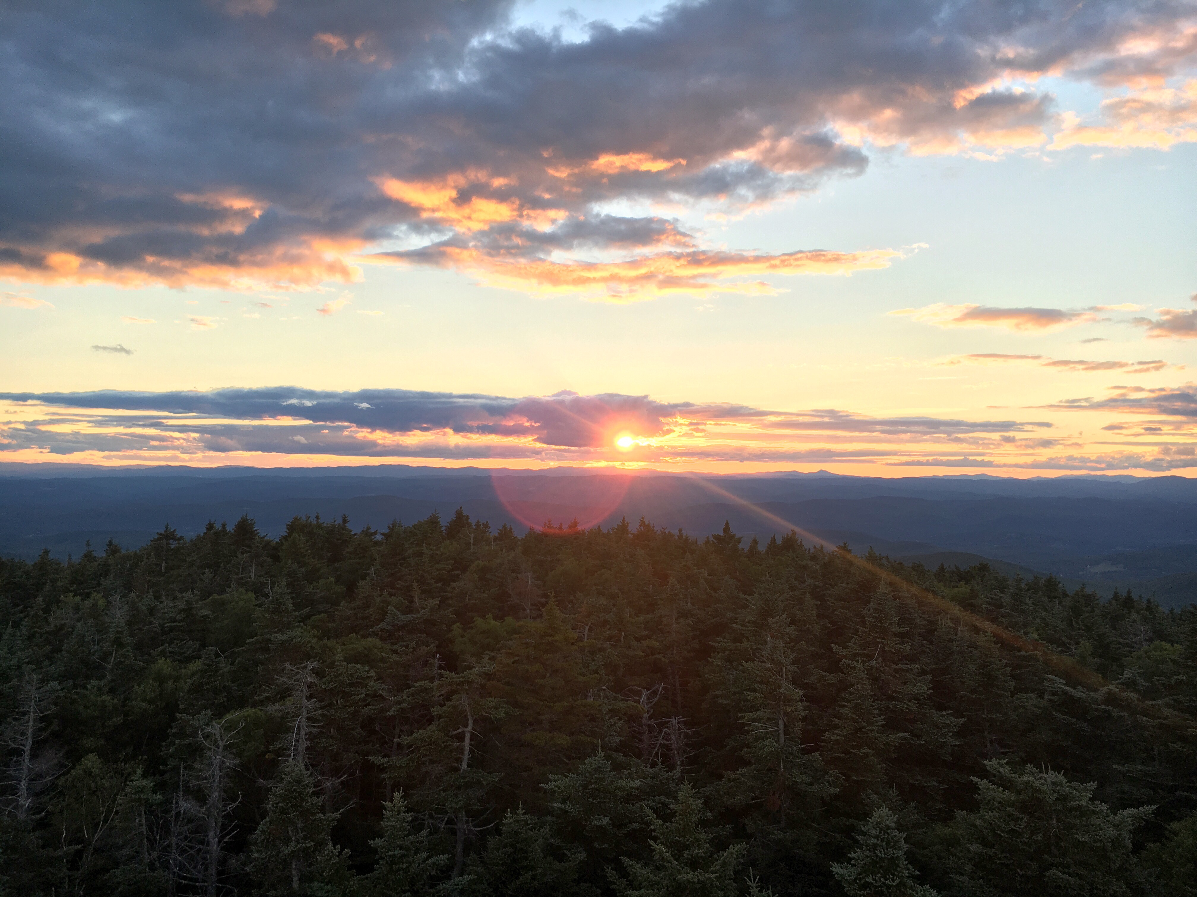
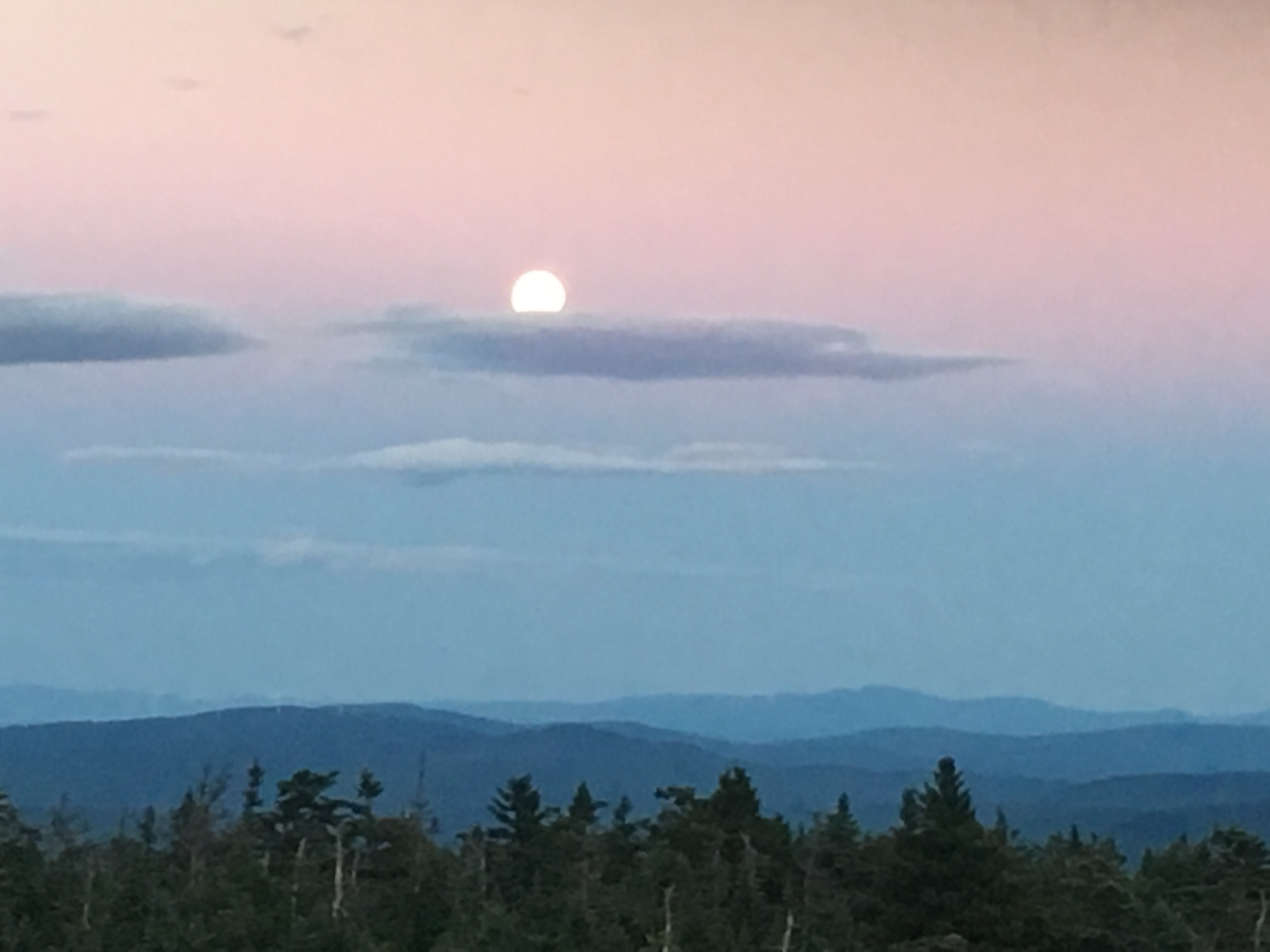
Since my last update, I’ve watched a sunset and moonrise in a fire tower, almost got stuck in a gas station, and saw a moose! A lot more has happened, but I don’t have a ton of time, sorry. The sunset and moonrise was atop smarts mountain. I got there just in the nick of time, and it was spectacular! It was the first view of the White’s, and the clouds made for a quite dramatic scene. The fire tower was my final destination for the day, there was a small shelter right near the base. I’m not a shelter person, but it was nice to have a place to crash without having to deal with my tent.
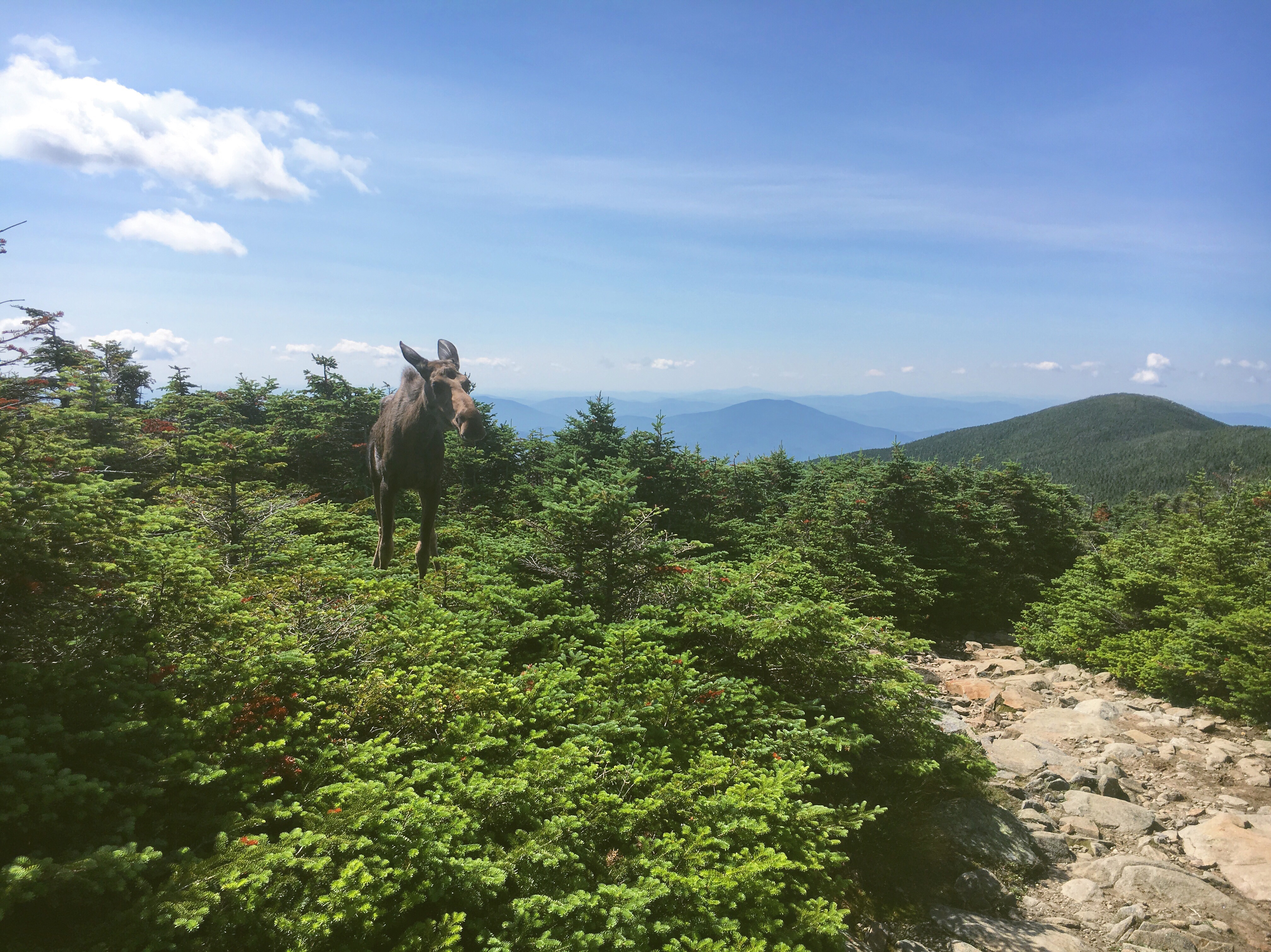
The moose was sighted at the top of Mt Moosilauke, how fitting. Unfortunately the moose was injured somehow, I’m pretty sure that’s the only reason why I saw him. He was just about 10 ft off the trail, and at first I wasn’t sure what to do. After standing there for about 10 min talking to her, I just walked by. She just stood there, but I didn’t want to bother her and left. I did get some good photos though.
The getting stuck at the gas station story was just bad luck with hitching. Eventually I got a ride, but it was pretty late in the evening. I almost considered road walking at one point.
Tomorrow I’ll be going over Kinsman Ridge, which I am very excited about. Equally exciting is that good weather is forecasted. It should make for some spectacular scenery. Hopefully I’ll be able to do another update in Gorham NH, at the end of the Whites. Expect lots of amazing photos!
Hello! Currently sitting in the public library here in downtown Hanover.
Since Manchester Center, I’ve stayed at the Yellow Deli in Rutland VT, as well as the back yard of trail angel Miss Linda. First the Yellow Deli.
The Yellow Deli is a restaurant and hiker hostel run by the Twelve Tribes. They get a bad rap for being a cult, but it wasn’t even that bad. I was never asked to participate in anything I didn’t want to, so it was pretty much just like any other hostel. When I was in town we decided to go out for some beers and see a movie. There wasn’t much that looked good, so we ended up seeing The Shallows. It was basically a modern Jaws, nothing really special. The next morning I took a bus back to the trail head. This made it really easy getting back tothe trail, and I was impressed. Rutland really takes care of their hikers.
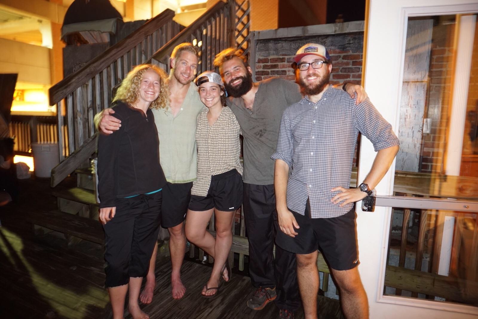
Hiker family from left: Bumble Bee, Big Foot, Golly, Col. Mustard, and I.
Miss Linda’s house is in West Hartford, a tiny village with only a few houses. At this point the AT is just a road walk over the White River. You cross the bridge and are immediately called over to say hello. When I got there there were already a dozen or so hikers hanging out. There were hot dogs, cold sodas, and I was invited to camp out in the back yard with the chickens. I took Miss Linda up on the offer and also had time to jump off the bridge. Jumping from high places isn’t my forte, so I didn’t allow myself to take time on the ledge. I basically climbed over the railing and went for it. No time to think about it and make second guesses. It was a blast and I ended up going again, this time having a friend take a slow motion video of me.
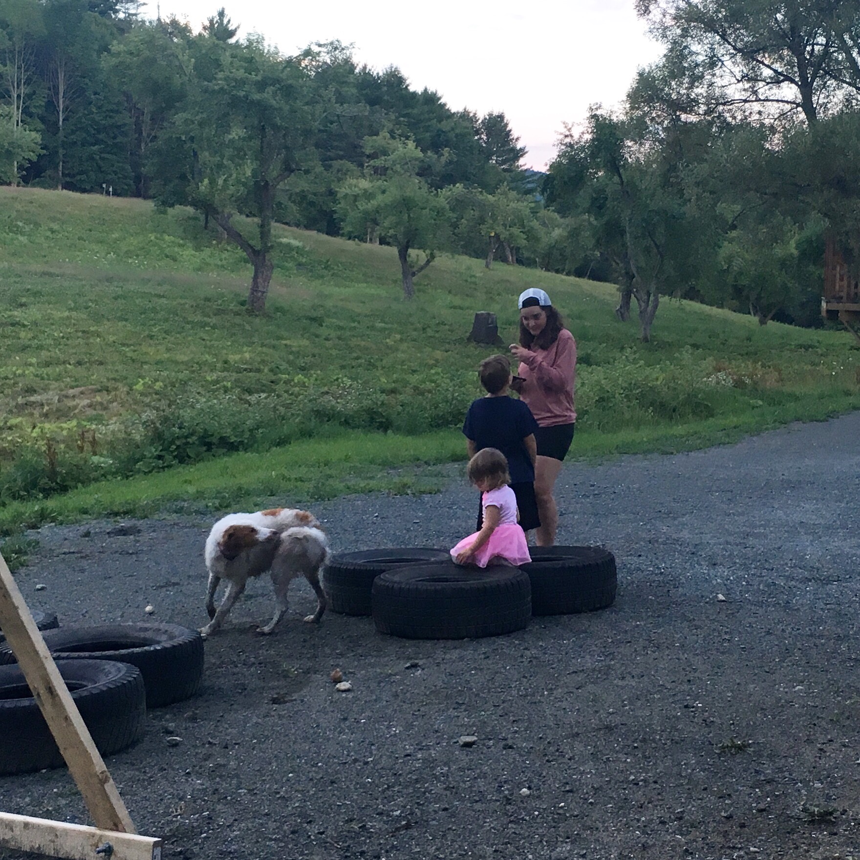
After Miss Linda’s it was just an easy 8ish miles into Norwich. There was a good bit of rain, and a good climb as well. Luckily there wasn’t any thunder at that point, so that was nice. I got an early start to allow myself as much time on my nero, and it paid off. I got to Norwich at about eleven, took a shower and was invited to a Sunday brunch with the family I’m staying with. I was so gracious and didn’t expect it at all. A real treat. The people I’ve met on the trail is really what it’s all about. They had made two huge stacks of waffles, a large french press of coffee, and sausage and bacon. It was so delicious, and it was also fun to meet Lily’s family. She’s married to Omer, a dedicated husband who often travels to SF for work, and three children. A 9 year old, 5, and 3. Oh, and there’s also a very playful dog. It’s a pretty high energy household to say the least. After brunch I spent time catching up with the world, their wifi is amazing. Then we headed to the general store to pick up supplies for dinner. Spaghetti with Italian sausage, garlic bread, a large salad, and plenty of wine. I think it turned out quite nice. After dinner we joined Lily and her kids at the backyard fire pit and made some smores. It was great fun, and eventually turned into a game of throwing rocks into tires. Honey Badger (the nine year old) got 53 points! We all agreed he should play baseball now. After the kids were put down, Bumble Bee and I played a few hands of Gin Rummy and killed the wine. All in all, a very successful evening.
Golly playing with the kids, I think the dog had something in its tail.The apartment, what an awesome place!
Today was a lazy morning. Golly made a pot of coffee and I did a bit of planning for the next few days. After she walked the dog we all headed down to a local diner and grabbed some breakfast. Hanover is an extremely hiker friendly town. At breakfast we were treated to a free doughnut. There’s even a pizzeria that gives a free slice to thru-hikers. I think I’ll have to hit that up on the way back. For the remainder of my zero I’ll browse the bookstore (pointless because I have an e-book, but still fun), pick up my mail from the post office, and dodge the rain. I think we’re expecting thunder storms in an hour or two.
In about two days I’ll be getting to the white mountains. I’m both really excited, and a bit worried. For the entire trail I’ve heard that this will be the most difficult terrain. I should be fine though, walking 1750 miles means my legs are in pretty good physical condition. I suppose that’s to be expected though. Service will be spotty at best, and I’m not sure when the next hostel or town stop will be, so it could be a while before I post again. But when I do, expect amazing photos of the whites!
Hello! Currently I am taking an impromptu zero at the best hostel on the trail so far. Green Mountain Home is truly an oasis along the trail. There’s an entire downstairs devoted just to hikers, complete with a fully stocked kitchen, a living room with movies, a large dining table, and even a piano. Last night I cooked a large diner of spaghetti carbonara for five of us. They all thanked me, but I really got the most out of it. Cooking in a fully stocked kitchen is something I really miss. I wonder what I’ll cook tonight. The best thing of all is that it’s extremely affordable. $35 dollars got me all that, plus a bed with clean sheets and pillow, laundry, a pint of ben & jerry’s and a coke. It’s pretty incredible.
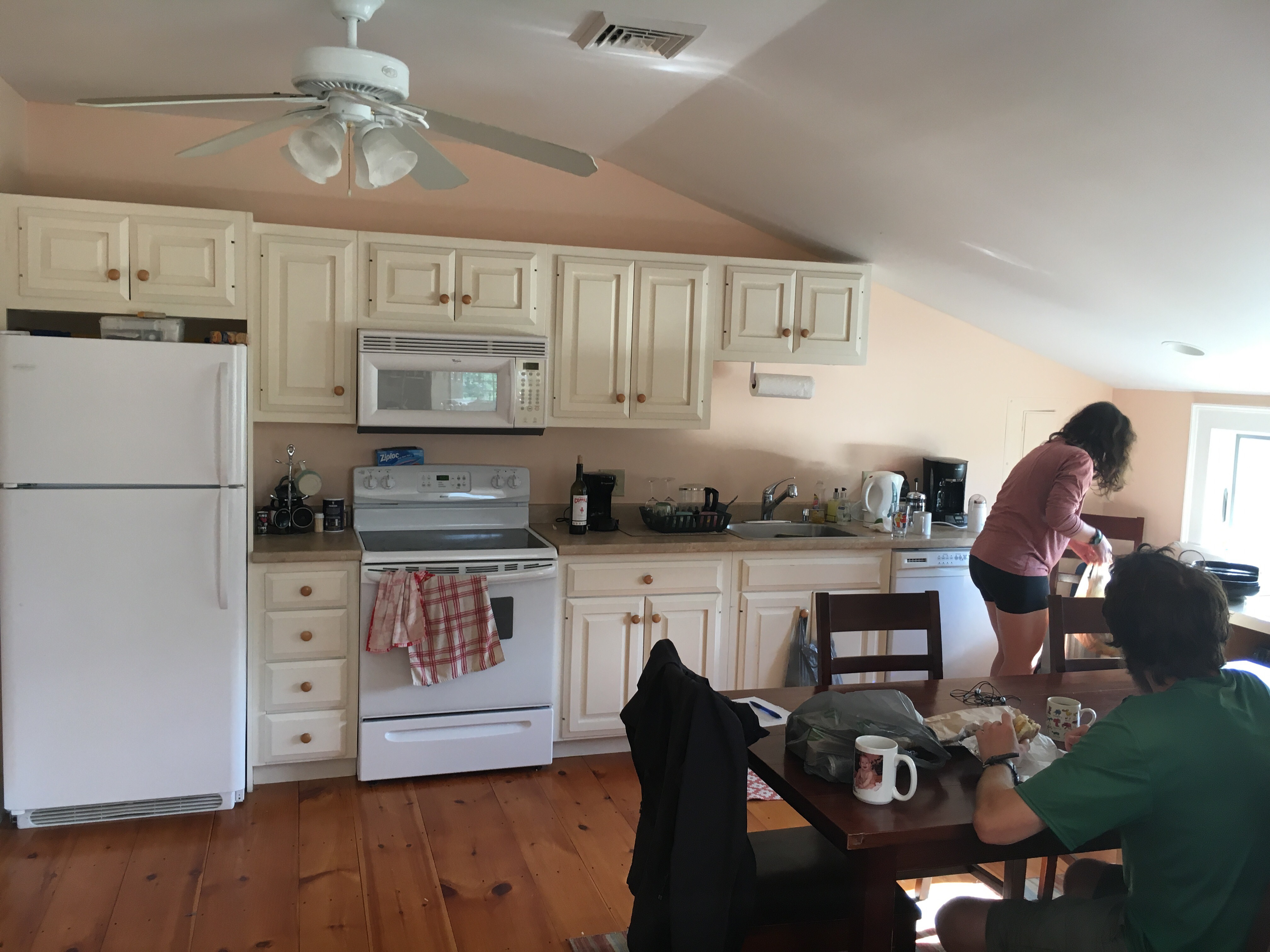
The wonderful kitchen at Green Mountain House
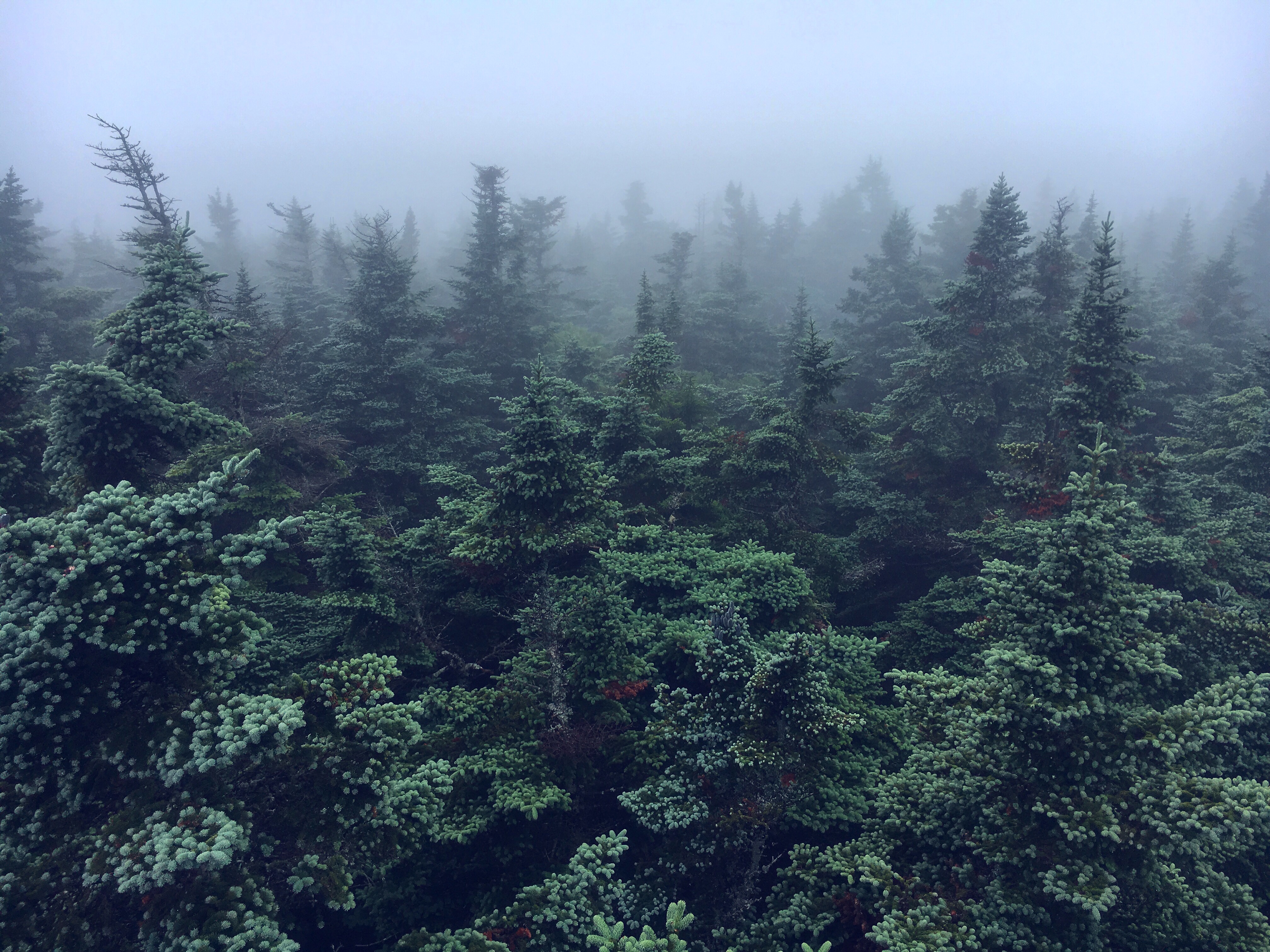
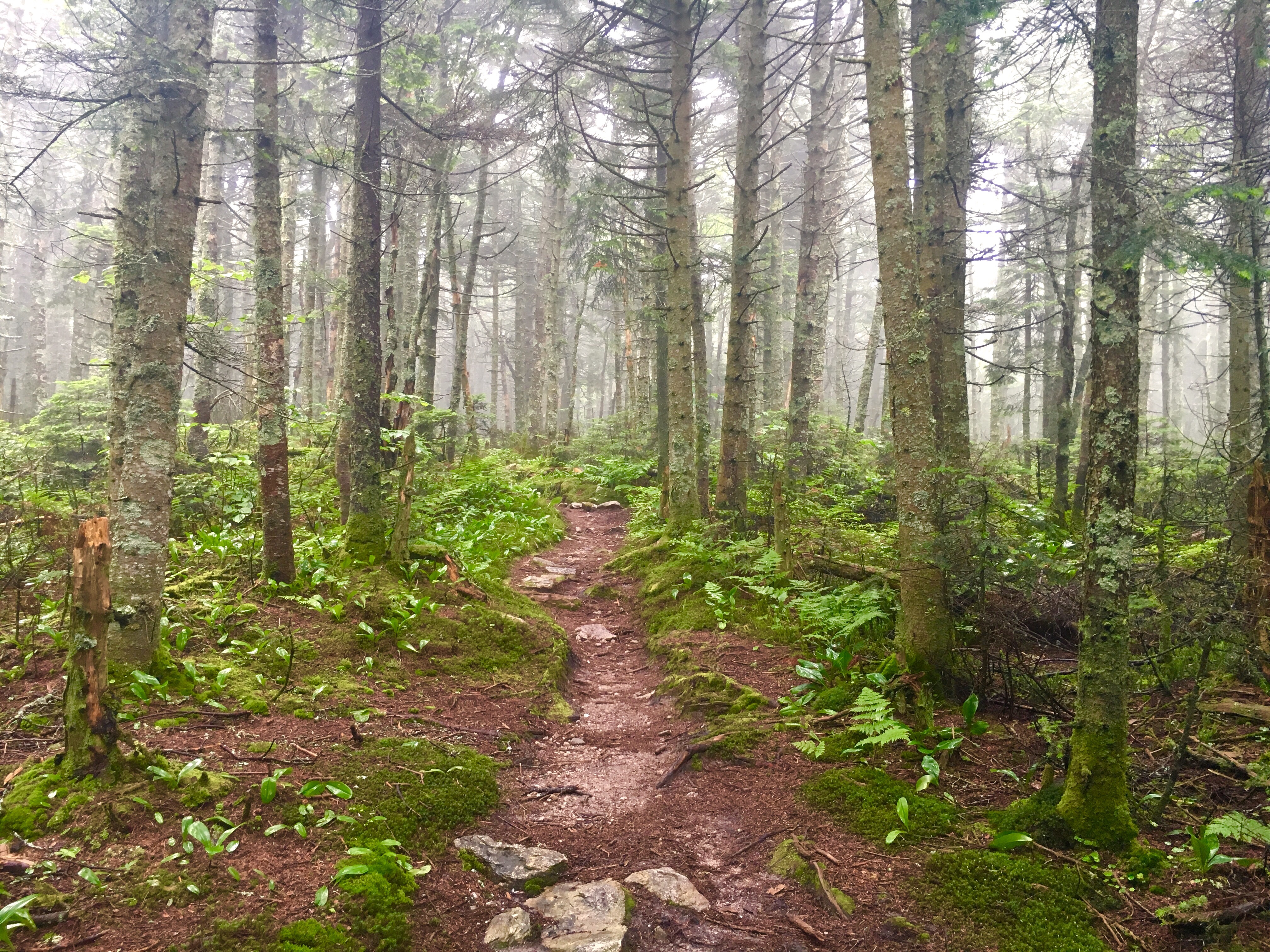
Vermont so far has been one of my favorite states. It gets the nick name Vermud due to some terrible trail conditions. It’s not all bad though. The scenery is spectacular. The woods are full of coniferous trees and ferns. Small creeks and streams meander through the forest. There have also been two fire towers; however, weather hasn’t permitted any views. Lately it has been very wet. That’s partially why I took another zero so soon after Williamstown. I was soaked! Even my sleeping bag was slightly wet. It’s interesting how much being out here makes you appreciate the little things in life, like dry socks and shoes. Or sunlight. Unfortunately bad weather also means less photos, but I have a few good ones.
Climbing up the fire tower
Taking this time today I’ve noticed that I’m a little self conflicted. I’m just not sure how quickly I want this hike to end. Should I keep going fast and have it be over with? Or rather take more time and zeros, stop and smell the flowers and relax. Either way I’ll be enjoying myself, I wouldn’t give that up. Just know that one isn’t necessarily better than the other, just different.